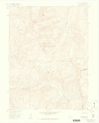
1957 Map of Byers Peak
USGS Topo · Published 1959About this map
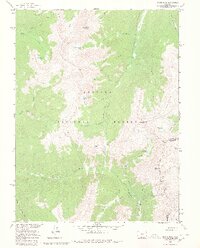
The Continental Divide forms a high-altitude spine across this 1957 survey, marking the jagged boundary where water shed alternates between the South Fork Williams Fork and St Louis Creek. This high-country landscape in the Arapaho National Forest is defined by its water management and mining history, notably the St Louis Aqueduct and the Steelmann Dam that diverted alpine runoff for down-basin development. Peaks like Byers Peak, Bills Peak, and St Louis Peak tower over the valley floors, providing a clear picture of the region's topography before modern recreational expansion.
Find a feature on this map
30 named features on this map. Tap any name to fly to it.
Don’t see what you’re looking for? This feature index may not catch every label — zoom into the map to look around manually.
Map Details
Editions of this 1957 Byers Peak Map
7 editions found
Other maps of this area

1924 · Montezuma
USGS Topo · 1:62,500

1924 · Fraser
USGS Topo · 1:62,500

1926 · Fraser
USGS Topo · 1:62,500

1926 · Montezuma
USGS Topo · 1:62,500

1929 · Dillon
USGS Topo · 1:62,500

1933 · Montezuma
USGS Topo · 1:62,500

1933 · Ute Peak
USGS Topo · 1:62,500

1934 · Dillon
USGS Topo · 1:62,500

1937 · Ute Peak
USGS Topo · 1:62,500

1953 · Denver
USGS Topo · 1:250,000