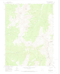
1957 Map of Byers Peak
USGS Topo · Published 1974About this map
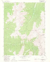
Arapaho National Forest dominates this high-altitude landscape along the Continental Divide, where the border of Grand and Clear Creek counties follows the crest of the Rockies. The map documents significant mid-century water engineering and resource extraction, notably the August P Gumlick (Jones Pass) Tunnel and the St Louis Aqueduct system. These features illustrate the complex efforts to divert water across the divide. Higher elevations are marked by prominent summits like Byers Peak and Bills Peak, while the industrial history of the region is anchored by the St Louis Mine and Bobtail Mine. Ancient routes and early recreational paths are captured through the Byers Peak Trail and St Louis Trail, which navigate the headwaters of the South Fork Williams Fork and St Louis Creek.
Find a feature on this map
33 named features on this map. Tap any name to fly to it.
Don’t see what you’re looking for? This feature index may not catch every label — zoom into the map to look around manually.
Map Details
Editions of this 1957 Byers Peak Map
7 editions found
Other maps of this area

1924 · Montezuma
USGS Topo · 1:62,500

1924 · Fraser
USGS Topo · 1:62,500

1926 · Fraser
USGS Topo · 1:62,500

1926 · Montezuma
USGS Topo · 1:62,500

1929 · Dillon
USGS Topo · 1:62,500

1933 · Montezuma
USGS Topo · 1:62,500

1933 · Ute Peak
USGS Topo · 1:62,500

1934 · Dillon
USGS Topo · 1:62,500

1937 · Ute Peak
USGS Topo · 1:62,500

1953 · Denver
USGS Topo · 1:250,000