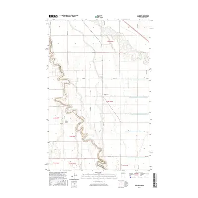
2016 Map of Bygland
USGS Topo · Published 2016About this map
The Red River of the North defines the boundary between Minnesota and North Dakota, carving a winding path through the fertile Red River Valley. This agricultural landscape in Polk County is centered on the settlement of Bygland, where the Red Lake River meanders toward its confluence. The map reveals an intricate network of drainage systems essential to regional farming, including County Ditch Number One Hundred Twentyfour and County Ditch Number One Hundred Thirtyone. Local history is anchored by the East Walle Evangelical Lutheran church and nearby burial grounds like Bygland Cem and Pioneer Cem. The rectilinear grid of rural roads, such as Co Hwy 59 and Co Hwy 15, provides the framework for this high-plains community during a period of modern agricultural stability.
Find a feature on this map
30 named features on this map. Tap any name to fly to it.
Don’t see what you’re looking for? This feature index may not catch every label — zoom into the map to look around manually.
Map Details
Editions of this 2016 Bygland Map
This is the sole edition of this map. No revisions or reprints were ever made.
Other maps of this area

1919 · Eldred
USGS Topo · 1:62,500

1934 · Grand Forks
USGS Topo · 1:24,000

1934 · Grand Forks
USGS Topo · 1:62,500

1938 · Grand Forks
USGS Topo · 1:62,500

1952 · Grand Forks
USGS Topo · 1:250,000

1956 · Grand Forks
USGS Topo · 1:250,000
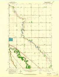
1963 · Mallory
USGS Topo · 1:24,000
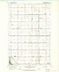
1963 · Key West
USGS Topo · 1:24,000
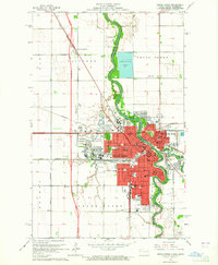
1963 · Grand Forks
USGS Topo · 1:24,000

1964 · Climax NW
USGS Topo · 1:24,000