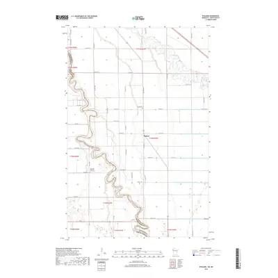
2019 Map of Bygland
USGS Topo · Published 2019About this map
The Red River of the North winds along the border of Minnesota and North Dakota, its deep meanders defining the western edge of this agricultural landscape. On the Minnesota side, the small settlement of Bygland sits near the junction of several county highways, serving as a focal point for the surrounding rural community. The interior is defined by a sophisticated water management system, featuring numerous engineered waterways such as County Ditch Number One Hundred Twentyfour and County Ditch Number One Hundred Seven.
Find a feature on this map
53 named features on this map. Tap any name to fly to it.
Don’t see what you’re looking for? This feature index may not catch every label — zoom into the map to look around manually.
Map Details
Editions of this 2019 Bygland Map
This is the sole edition of this map. No revisions or reprints were ever made.
Other maps of this area

1919 · Eldred
USGS Topo · 1:62,500

1934 · Grand Forks
USGS Topo · 1:24,000

1934 · Grand Forks
USGS Topo · 1:62,500

1938 · Grand Forks
USGS Topo · 1:62,500

1952 · Grand Forks
USGS Topo · 1:250,000

1956 · Grand Forks
USGS Topo · 1:250,000
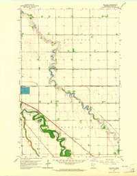
1963 · Mallory
USGS Topo · 1:24,000
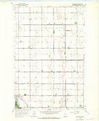
1963 · Key West
USGS Topo · 1:24,000
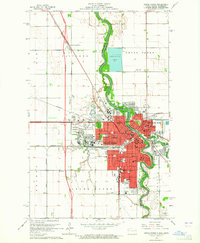
1963 · Grand Forks
USGS Topo · 1:24,000

1964 · Climax NW
USGS Topo · 1:24,000