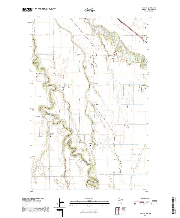
2022 Map of Bygland
USGS Topo · Published 2022About this map
Bygland sits at the heart of this fertile agricultural landscape in Polk County, where the meandering course of the Red River of the North defines the border between Minnesota and North Dakota. This modern survey illustrates a region shaped by sophisticated water management, featuring an extensive network of drainage systems such as County Ditch Number One Hundred Fifteen and County Ditch Number One Hundred Seven that support the Red River Valley’s productive farmland. The cultural history of the community is anchored by the East Walle Lutheran Church and its accompanying cemetery, providing essential landmarks for genealogists tracking early Norwegian-American settlement patterns. Along the northern edge, the confluence near the Red Lake River creates a complex hydrologic profile that has influenced local transportation and land use for generations.
Find a feature on this map
39 named features on this map. Tap any name to fly to it.
Don’t see what you’re looking for? This feature index may not catch every label — zoom into the map to look around manually.
Map Details
Editions of this 2022 Bygland Map
This is the sole edition of this map. No revisions or reprints were ever made.
Other maps of this area

1919 · Eldred
USGS Topo · 1:62,500

1934 · Grand Forks
USGS Topo · 1:24,000

1934 · Grand Forks
USGS Topo · 1:62,500

1938 · Grand Forks
USGS Topo · 1:62,500

1952 · Grand Forks
USGS Topo · 1:250,000

1956 · Grand Forks
USGS Topo · 1:250,000
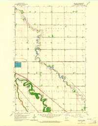
1963 · Mallory
USGS Topo · 1:24,000
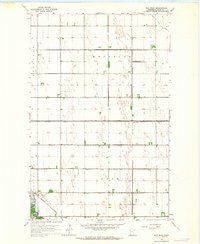
1963 · Key West
USGS Topo · 1:24,000
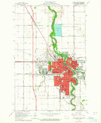
1963 · Grand Forks
USGS Topo · 1:24,000

1964 · Climax NW
USGS Topo · 1:24,000