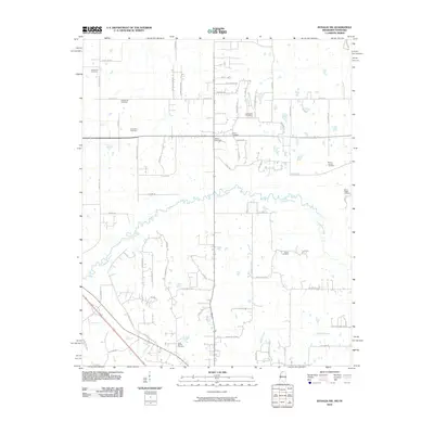
2010 Map of Byhalia NW
USGS Topo · Published 2010About this map
The Coldwater River meanders across this landscape, defining the topography of a region steeped in local history and family heritage along the Mississippi-Tennessee border. Numerous burial grounds are scattered throughout the quadrangle, including the Center Hill Cemetery, Halliburton Cemetery, and McGehee Cemetery, each marking the locations of early area congregations and family plots. The southern reaches of the map show the drainage patterns of Sticky Creek and Byhalia Creek, while the road network reflects modern growth extending from the state line. For genealogists, the density of small cemeteries like the Saint Mathis Cemetery and Eason Cemetery offers a valuable record of the area's rural development and the established families who shaped this borderland community in the early 21st century.
Find a feature on this map
64 named features on this map. Tap any name to fly to it.
Don’t see what you’re looking for? This feature index may not catch every label — zoom into the map to look around manually.
Map Details
Editions of this 2010 Byhalia NW Map
This is the sole edition of this map. No revisions or reprints were ever made.
Other maps of this area

1943 · Collierville
USGS Topo · 1:62,500

1944 · Hernando
USGS Topo · 1:62,500

1948 · Byhalia
USGS Topo · 1:62,500

1953 · Collierville
USGS Topo · 1:50,000

1956 · Blytheville
USGS Topo · 1:250,000

1956 · Tupelo
USGS Topo · 1:250,000

1958 · Tupelo
USGS Topo · 1:250,000

1959 · Blytheville
USGS Topo · 1:250,000

1960 · Bartlett
USGS Topo · 1:62,500

1961 · Bartlett
USGS Topo · 1:62,500