
1960 Map of Bynum
USGS Topo · Published 1962About this map
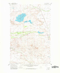
Bynum serves as the focal point of this 1960s agricultural and ranching landscape, situated along the Great Northern rail line in Teton County. The map reveals an intricate water management system essential to the high plains, featuring the expansive Bynum Reservoir, Farmers Reservoir, and a network of irrigation works including Farmers Ditch and Eldorado Ditch. The distribution of family operations like the Miller Colony, Erickson Ranch, and Monkman Ranch reflects the enduring homesteading legacy of the region.
Find a feature on this map
64 named features on this map. Tap any name to fly to it.
Don’t see what you’re looking for? This feature index may not catch every label — zoom into the map to look around manually.
Map Details
Editions of this 1960 Bynum Map
2 editions found
Other maps of this area

1903 · Saypo
USGS Topo · 1:125,000

1914 · Heart Butte
USGS Topo · 1:125,000

1918 · Heart Butte
USGS Topo · 1:125,000

1920 · Choteau
USGS Topo · 1:125,000

1920 · Dupuyer
USGS Topo · 1:125,000

1936 · Pendroy
USGS Topo · 1:48,000

1938 · Gallup City
USGS Topo · 1:62,500

1941 · Pendroy
USGS Topo · 1:62,500

1942 · Gallup City
USGS Topo · 1:62,500

1955 · Choteau
USGS Topo · 1:250,000