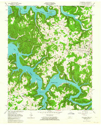
1962 Map of Byrdstown
USGS Topo · Published 1964About this map
Byrdstown sits near the Kentucky-Tennessee border in this early 1960s survey, defined by the winding reaches of Dale Hollow Reservoir where it floods the Wolf River and Obey River valleys. The landscape is dotted with family-named landmarks and rural institutions, including the Cordell Hull Birthplace and several country churches like Jones Chapel and Hatcher Hall Ch. The map provides a detailed view of local genealogy through numerous small burial grounds such as Love Lady Cem, Crawford Cem, and Riley Cem. Transportation patterns of the era are visible in the Ferry crossing at Eagle Creek, while the town of Byrdstown serves as a hub with the Pickett Co High Sch. The geography reflects a transition from traditional river-valley settlement to a landscape shaped by significant water management and recreation.
Find a feature on this map
68 named features on this map. Tap any name to fly to it.
Don’t see what you’re looking for? This feature index may not catch every label — zoom into the map to look around manually.
Map Details
Editions of this 1962 Byrdstown Map
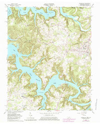
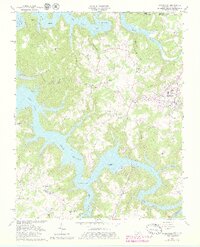
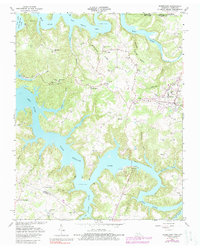
4 editions found
Other maps of this area

1897 · Standingstone
USGS Topo · 1:125,000

1898 · Standingstone
USGS Topo · 1:125,000

1924 · Lillydale
USGS Topo · 1:62,500

1926 · Lillydale
USGS Topo · 1:62,500

1929 · Lillydale
USGS Topo · 1:62,500

1929 · Byrdstown
USGS Topo · 1:62,500

1944 · Livingston
USGS Topo · 1:24,000

1954 · Frogue
USGS Topo · 1:24,000

1954 · Albany
USGS Topo · 1:24,000

1954 · Savage
USGS Topo · 1:24,000