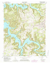
1962 Map of Byrdstown
USGS Topo · Published 1979About this map
Dale Hollow Lake dominates this rugged Tennessee-Kentucky borderland, where the winding channels of the Obey River and Wolf River converge. The landscape is defined by the sharp transition from high ridges down to the reservoir waters, creating a intricate network of hollows like Blooming Springs Hollow. Byrdstown serves as the primary hub, anchored by the County High Sch and a series of cemeteries that speak to the area's deep family roots, including Crawford Cem and Mullins Cem.
Find a feature on this map
68 named features on this map. Tap any name to fly to it.
Don’t see what you’re looking for? This feature index may not catch every label — zoom into the map to look around manually.
Map Details
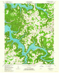
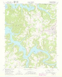
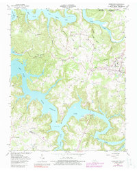
Editions of this 1962 Byrdstown Map
4 editions found
Other maps of this area

1897 · Standingstone
USGS Topo · 1:125,000

1898 · Standingstone
USGS Topo · 1:125,000

1924 · Lillydale
USGS Topo · 1:62,500

1926 · Lillydale
USGS Topo · 1:62,500

1929 · Lillydale
USGS Topo · 1:62,500

1929 · Byrdstown
USGS Topo · 1:62,500

1944 · Livingston
USGS Topo · 1:24,000

1954 · Frogue
USGS Topo · 1:24,000

1954 · Albany
USGS Topo · 1:24,000

1954 · Savage
USGS Topo · 1:24,000