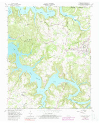
1962 Map of Byrdstown
USGS Topo · Published 1988About this map
Byrdstown serves as the regional hub for this northern Tennessee landscape, situated where the high ridges of the Highland Rim meet the complex shoreline of Dale Hollow Lake. The 1962 topography illustrates the transformative impact of the reservoir system on the Wolf River and Obey River valleys, showing several settlements and cemeteries that remain perched above the 651-foot spillway elevation. Local history is anchored by the Cordell Hull Birthplace and numerous rural churches and cemeteries, such as Jones Chapel and the Tompkins Cem, which serve as vital markers for genealogical research. The map captures a moment when traditional river crossings were being replaced, yet a Ferry still operated on Big Eagle Creek. Beyond the central town, the landscape is dotted with smaller communities like Smyrna and Bloomington, alongside scattered agricultural operations and local resource extraction at several Quarries.
Find a feature on this map
74 named features on this map. Tap any name to fly to it.
Don’t see what you’re looking for? This feature index may not catch every label — zoom into the map to look around manually.
Map Details
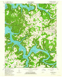
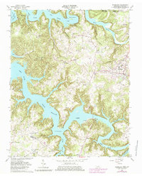
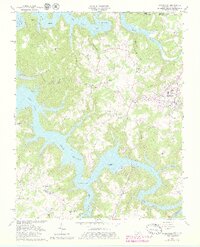
Editions of this 1962 Byrdstown Map
4 editions found
Other maps of this area

1897 · Standingstone
USGS Topo · 1:125,000

1898 · Standingstone
USGS Topo · 1:125,000

1924 · Lillydale
USGS Topo · 1:62,500

1926 · Lillydale
USGS Topo · 1:62,500

1929 · Lillydale
USGS Topo · 1:62,500

1929 · Byrdstown
USGS Topo · 1:62,500

1944 · Livingston
USGS Topo · 1:24,000

1954 · Frogue
USGS Topo · 1:24,000

1954 · Albany
USGS Topo · 1:24,000

1954 · Savage
USGS Topo · 1:24,000