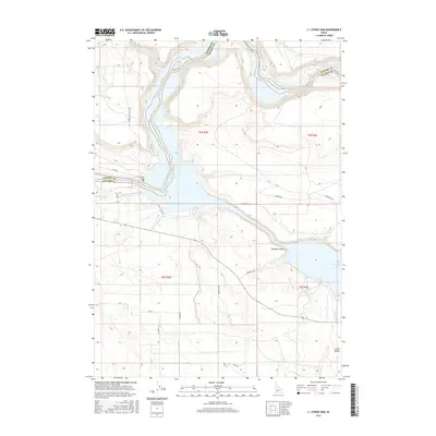
2017 Map of C J Strike Dam
USGS Topo · Published 2017About this map
C J Strike Dam and its accompanying C J Strike Reservoir anchor this landscape along the border of Elmore and Owyhee counties. This 2017 survey reveals the extensive water management infrastructure of the region, where the Snake River is harnessed for irrigation and power. The map traces the historical path of the Emigrant Trl as it winds through the arid terrain, crossing paths with modern developments like Mormon Blvd and Black Sands Rd.
Find a feature on this map
26 named features on this map. Tap any name to fly to it.
Don’t see what you’re looking for? This feature index may not catch every label — zoom into the map to look around manually.
Map Details
Editions of this 2017 C J Strike Dam Map
This is the sole edition of this map. No revisions or reprints were ever made.
Other maps of this area

1892 · Mountain Home
USGS Topo · 1:125,000

1892 · Bisuka
USGS Topo · 1:125,000

1893 · Mountain Home
USGS Topo · 1:125,000

1894 · Bisuka
USGS Topo · 1:125,000

1946 · Mouth of Bruneau
USGS Topo · 1:24,000

1947 · Little Valley
USGS Topo · 1:24,000

1947 · Grand View
USGS Topo · 1:62,500

1947 · Bruneau
USGS Topo · 1:62,500

1947 · Grand View
USGS Topo · 1:24,000

1947 · Bruneau
USGS Topo · 1:24,000