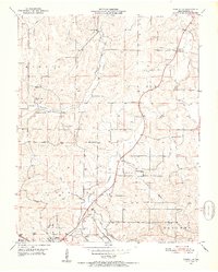
1951 Map of Cabool NE
USGS Topo · Published 1952About this map
Cabool and the small settlement of Simmons anchor this Ozark landscape during the early 1950s, a period defined by a dense network of rural schools and churches that served the dispersed agricultural community. The terrain is deeply etched by the Big Piney River and its many tributaries, including Hamilton Creek, Elk Creek, and Berry Branch. The presence of institutions like the Freely Give Sch and Shady Grove Sch, alongside numerous country cemeteries such as Rocky Branch Cem and Altis Cem, offers significant detail for genealogical research in Texas County.
Find a feature on this map
30 named features on this map. Tap any name to fly to it.
Don’t see what you’re looking for? This feature index may not catch every label — zoom into the map to look around manually.
Map Details
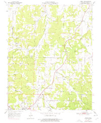
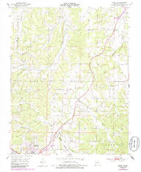
Editions of this 1951 Cabool NE Map
4 editions found
Other maps of this area

1941 · Bado
USGS Topo · 1:62,500

1943 · Bado
USGS Topo · 1:62,500

1945 · Clear Springs
USGS Topo · 1:62,500

1948 · Clear Springs
USGS Topo · 1:62,500

1949 · Rolla
USGS Topo · 1:250,000

1950 · Cabool SW
USGS Topo · 1:24,000

1951 · Cabool SE
USGS Topo · 1:24,000

1951 · Houston
USGS Topo · 1:24,000

1951 · Cabool NW
USGS Topo · 1:24,000

1951 · Cabool NE
USGS Topo · 1:24,000