
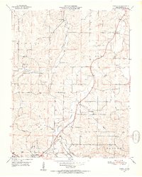
1951 Map of Cabool NE
USGS Topo · Published 1952About this map
The Big Piney River carves a winding path through this central Missouri landscape, where the rural townships of Morrison, Cass, Burdine, and Sargent converge. In the early 1950s, the area's social fabric was centered on a network of country schools and churches, including Oak Grove School, Simmons School, and Providence Church. The town of Cabool occupies the southwestern corner, serving as a transit point where the St. Louis San Francisco railroad meets major roads like 60 and 63. Genealogy researchers will find several family-named burial grounds and landmarks, such as Hamilton Creek Cemetery and Altis Cemetery, while the presence of the Cabool Airport reflects the mid-century modernization of this Ozark plateau region. Numerous tributaries, including Hamilton Creek, Dry Fork, and Berry Branch, define the local topography and historical property boundaries.
Find a feature on this map
32 named features on this map. Tap any name to fly to it.
Don’t see what you’re looking for? This feature index may not catch every label — zoom into the map to look around manually.
Map Details
Editions of this 1951 Cabool NE Map
4 editions found
Other maps of this area

1941 · Bado
USGS Topo · 1:62,500

1943 · Bado
USGS Topo · 1:62,500

1945 · Clear Springs
USGS Topo · 1:62,500

1948 · Clear Springs
USGS Topo · 1:62,500

1949 · Rolla
USGS Topo · 1:250,000

1950 · Cabool SW
USGS Topo · 1:24,000

1951 · Cabool SE
USGS Topo · 1:24,000

1951 · Houston
USGS Topo · 1:24,000

1951 · Cabool NW
USGS Topo · 1:24,000

1951 · Cabool
USGS Topo · 1:62,500