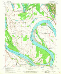
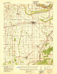
1967 Map of Cache
USGS Topo · Published 1968About this map
The Mississippi River creates a dynamic landscape of islands and chutes along the Illinois and Missouri border in this 1967 survey. Large landforms like Dogtooth Island and Tywappity Island dominate the river channel, while the interior is defined by the Horseshoe Lake State Conservation Area. Small agrarian settlements including Willard, Miller City, and Roth are connected by the Missouri Pacific and Gulf Mobile and Ohio railroads. The map reveals important genealogical sites, such as Schendler Cem and Thompson Cem, alongside local landmarks like a documented Indian Mound near Lake Milligan. The extensive levee system shown here highlights the ongoing effort to manage the floodplain near the confluence of the Mississippi and Cache River.
Find a feature on this map
41 named features on this map. Tap any name to fly to it.
Don’t see what you’re looking for? This feature index may not catch every label — zoom into the map to look around manually.
Map Details
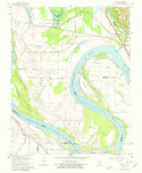
Editions of this 1967 Cache Map
2 editions found
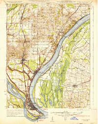
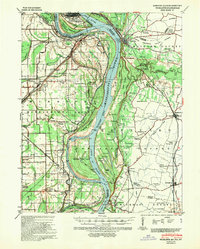
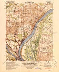
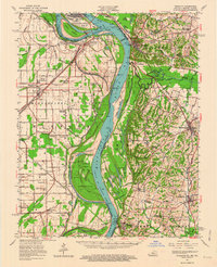
Other maps of this area

1931 · Cairo
USGS Topo · 1:62,500
1933 · Cairo
USGS Topo · 1:62,500

1934 · Thebes
USGS Topo · 1:62,500
1939 · Wickliffe
USGS Topo · 1:62,500
1939 · Charleston
USGS Topo · 1:62,500
1939 · Cairo
USGS Topo · 1:62,500

1939 · Thebes
USGS Topo · 1:62,500

1949 · Paducah
USGS Topo · 1:250,000

1950 · Paducah
USGS Topo · 1:250,000
1952 · Wickliffe
USGS Topo · 1:62,500