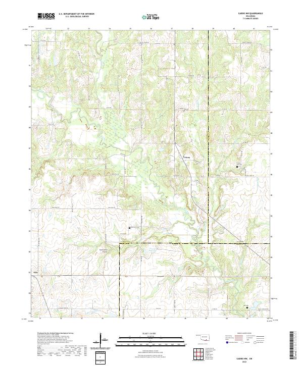
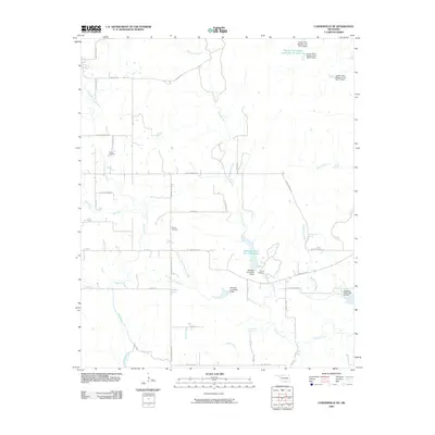
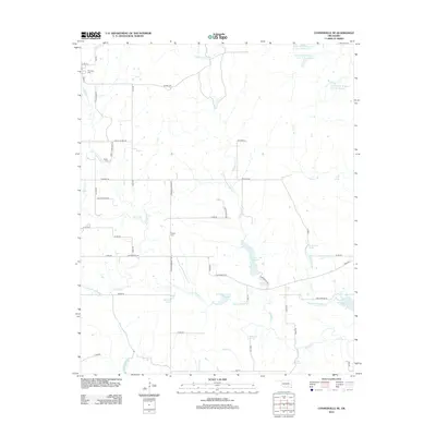
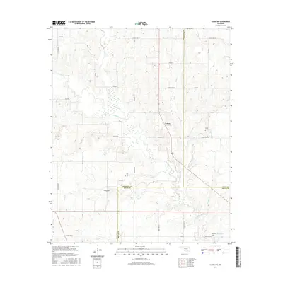
2022 Map of Caddo NW
USGS Topo · Published 2022About this map
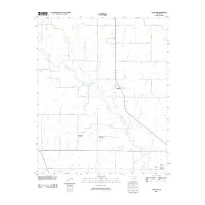
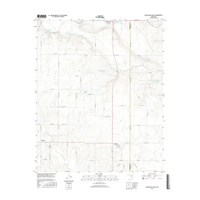
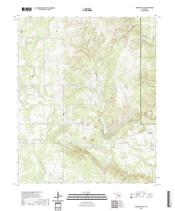
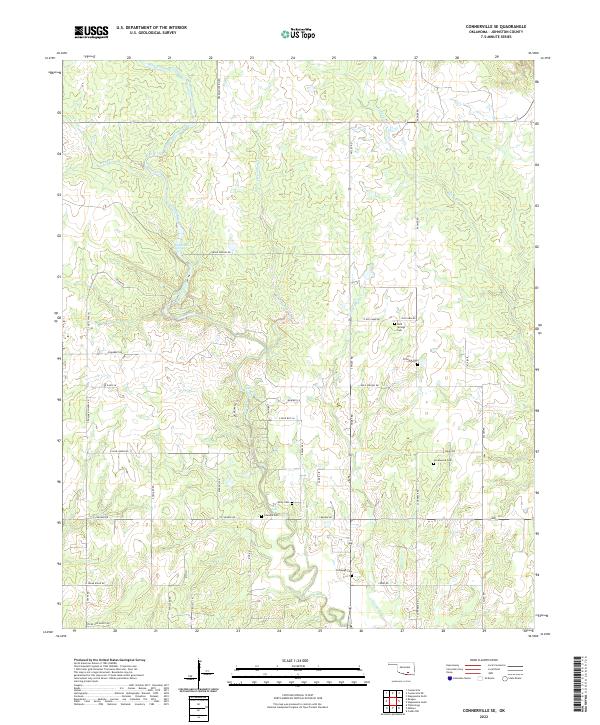
Blue River meanders across this rural Oklahoma landscape, defining the character of a region where modern county lines and township grids overlap centuries-old landforms. In the southern portion of the sheet, Twelvemile Prairie provides a distinct break in the terrain, situated between the watercourses of Horse Cr and Bois d'Arc Cr. The small communities of Folsom and Nida anchor the local road network, which is primarily composed of section-line routes and specialized drives such as Prairie Dog Ln.
Find a feature on this map
63 named features on this map. Tap any name to fly to it.
Don’t see what you’re looking for? This feature index may not catch every label — zoom into the map to look around manually.
Map Details
Editions of this 2022 Caddo NW Map
This is the sole edition of this map. No revisions or reprints were ever made.
Historical Maps of Folsom Through Time
30 maps found
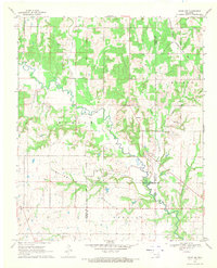
1963 Troy
Johnston County, OK
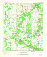
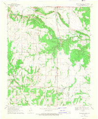
1967 Connerville NE
Johnston County, OK
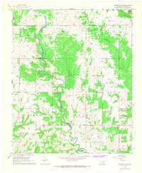
1967 Connerville SE
Johnston County, OK
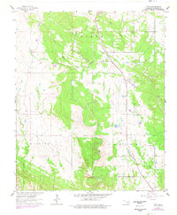
1968 Caddo NW
Johnston County, OK
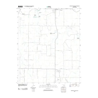
1968 Wapanucka South
Johnston County, OK
2009 Connerville NE
Johnston County, OK
2009 Wapanucka South
Johnston County, OK
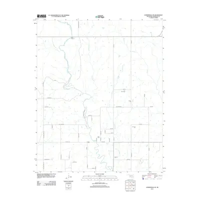
2010 Caddo NW
Johnston County, OK
2010 Connerville SE
Johnston County, OK
2010 Troy
Johnston County, OK
2012 Caddo NW
Johnston County, OK
2012 Connerville NE
Johnston County, OK
2012 Connerville SE
Johnston County, OK
2012 Wapanucka South
Johnston County, OK
2013 Troy
Johnston County, OK
2016 Caddo NW
Johnston County, OK
2016 Connerville NE
Johnston County, OK
2016 Connerville SE
Johnston County, OK
2016 Troy
Johnston County, OK
2016 Wapanucka South
Johnston County, OK
2018 Caddo NW
Johnston County, OK
2018 Connerville NE
Johnston County, OK
2018 Connerville SE
Johnston County, OK
2018 Troy
Johnston County, OK
2018 Wapanucka South
Johnston County, OK
2022 Caddo NW
Johnston County, OK
2022 Connerville NE
Johnston County, OK
2022 Connerville SE
Johnston County, OK
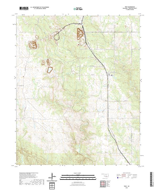
2022 Troy
Johnston County, OK
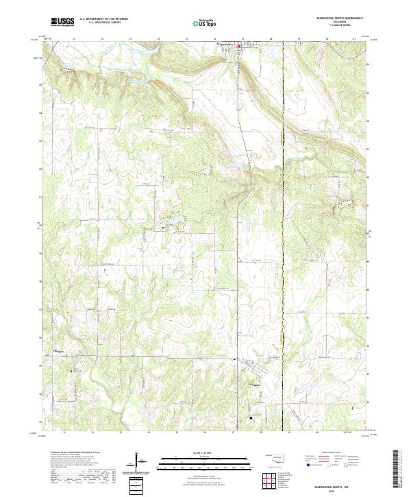
2022 Wapanucka South
Johnston County, OK