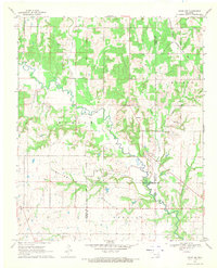
1968 Map of Caddo NW
USGS Topo · Published 1971About this map
The Old Indian Treaty Boundary carves a vertical path through this landscape, marking a legacy of territorial division in Oklahoma. Meandering through the center of the sheet, the Blue River serves as the primary drainage for numerous tributaries, including Twelvemile Creek and Horse Creek. The terrain is characterized by broad prairies and uplands named Myrick, Speairs, and Wilson, which reflect the ranching and agricultural patterns of the late 1960s.
Find a feature on this map
25 named features on this map. Tap any name to fly to it.
Don’t see what you’re looking for? This feature index may not catch every label — zoom into the map to look around manually.
Map Details
Editions of this 1968 Caddo NW Map
This is the sole edition of this map. No revisions or reprints were ever made.
Other maps of this area

1899 · Atoka
USGS Topo · 1:125,000

1900 · Atoka
USGS Topo · 1:125,000
1901 · Tishomingo
USGS Topo · 1:125,000

1957 · Ardmore
USGS Topo · 1:250,000
1963 · Ardmore
USGS Topo · 1:250,000
1967 · Connerville SE
USGS Topo · 1:24,000
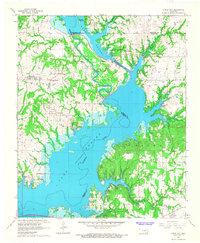
1967 · Little City
USGS Topo · 1:24,000
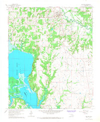
1967 · Milburn
USGS Topo · 1:24,000
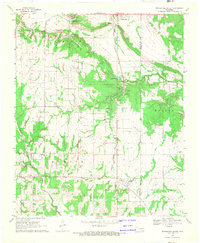
1968 · Wapanucka South
USGS Topo · 1:24,000
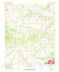
1968 · Durant North
USGS Topo · 1:24,000