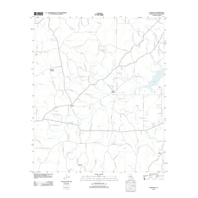
2012 Map of Cadeville
USGS Topo · Published 2012About this map
Cheniere Gas Field stands as a primary industrial landmark in this portion of Ouachita Parish, reflecting the region's long-standing reliance on local energy extraction. The landscape is defined by the winding paths of N Cheniere Cr and S Cheniere Cr, which converge toward the expansive Cheniere Lake in the east. Small communities and rural crossroads including Cadeville, Mount Pleasant, Okaloosa, and Lapine are connected by an intricate network of local routes like Britton Rd and Old Jonesboro Rd. These settlements serve as anchors for the surrounding timber and agricultural lands, which are heavily dissected by numerous smaller waterways such as Wilders Cr, Bogaloosa Cr, and McDonald Cr. Genealogists may find value in the presence of established burial grounds like Parker Cem and Pierce Cem, which mark the early footprints of these rural communities amidst a landscape that remains predominantly undeveloped.
Find a feature on this map
133 named features on this map. Tap any name to fly to it.
Don’t see what you’re looking for? This feature index may not catch every label — zoom into the map to look around manually.
Map Details
Editions of this 2012 Cadeville Map
This is the sole edition of this map. No revisions or reprints were ever made.
Other maps of this area

1935 · Drew
USGS Topo · 1:62,500

1940 · Monroe
USGS Topo · 1:62,500

1952 · Calhoun
USGS Topo · 1:62,500

1953 · Chatham
USGS Topo · 1:62,500

1955 · Shreveport
USGS Topo · 1:250,000

1956 · Shreveport
USGS Topo · 1:250,000

1957 · Monroe North
USGS Topo · 1:62,500

1957 · West Monroe North
USGS Topo · 1:24,000

1957 · West Monroe South
USGS Topo · 1:24,000

1957 · Monroe South
USGS Topo · 1:62,500