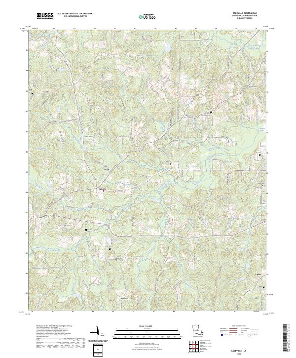
2024 Map of Cadeville
USGS Topo · Published 2024About this map
Cadeville and Okaloosa anchor this western Ouachita Parish landscape, where the terrain is defined by an intricate network of narrow creek valleys and ridges. The topography is shaped by the drainage systems of North Cheniere Creek and South Cheniere Creek, which feed into the swampy expanse of Cheniere Brake to the east. This 2024 survey documents a predominantly rural settlement pattern characterized by small community centers and numerous family-named cemeteries, including the Point Church Cem and Parker Cem. The abundance of burial sites and country churches like Point Church and Liberty Grove Church suggests a deeply rooted local history. The road network, including names like Old Mineral Springs Rd and J B Cyrus Rd, reflects the evolution of early trails into modern rural connectors, while the presence of features like Antioch Creek and Mill Creek indicates the historic importance of water access for this inland community.
Find a feature on this map
141 named features on this map. Tap any name to fly to it.
Don’t see what you’re looking for? This feature index may not catch every label — zoom into the map to look around manually.
Map Details
Editions of this 2024 Cadeville Map
This is the sole edition of this map. No revisions or reprints were ever made.
Other maps of this area

1935 · Drew
USGS Topo · 1:62,500

1940 · Monroe
USGS Topo · 1:62,500

1952 · Calhoun
USGS Topo · 1:62,500

1953 · Chatham
USGS Topo · 1:62,500

1955 · Shreveport
USGS Topo · 1:250,000

1956 · Shreveport
USGS Topo · 1:250,000

1957 · Monroe North
USGS Topo · 1:62,500

1957 · West Monroe North
USGS Topo · 1:24,000

1957 · West Monroe South
USGS Topo · 1:24,000

1957 · Monroe South
USGS Topo · 1:62,500