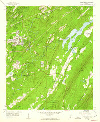
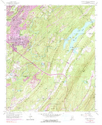
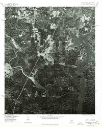
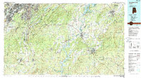
1959 Map of Cahaba Heights
USGS Topo · Published 1960This historical map portrays the area of Cahaba Heights in 1959, primarily covering Shelby County as well as portions of Jefferson County. Featuring a scale of 1:24000, this map provides a highly detailed snapshot of the terrain, roads, buildings, counties, and historical landmarks in the Cahaba Heights region at the time. Published in 1960, it is one of 5 known editions of this map due to revisions or reprints.
Find a feature on this map
50 named features on this map. Tap any name to fly to it.
Don’t see what you’re looking for? This feature index may not catch every label — zoom into the map to look around manually.
Map Details
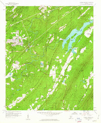
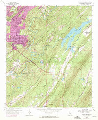
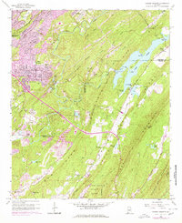
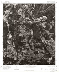
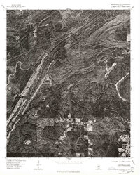
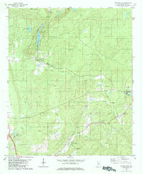
Editions of this 1959 Cahaba Heights Map
5 editions found
Historical Maps of Bridgeton Through Time
10 maps found
1959 Cahaba Heights
Shelby County, AL
1975 Cahaba Heights
Shelby County, AL
1975 Columbiana NE
Shelby County, AL
1975 Columbiana NW
Shelby County, AL
1975 Columbiana SE
Shelby County, AL
1975 Montevallo NE
Shelby County, AL
1975 Montevallo NW
Shelby County, AL
1980 Bounds Lake
Shelby County, AL
1984 Birmingham South
Shelby County, AL
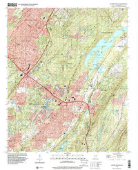
1998 Cahaba Heights
Shelby County, AL