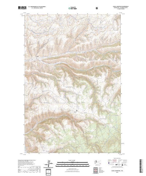
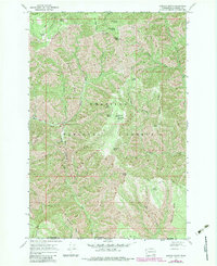
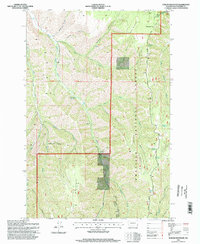
2023 Map of Cahill Mountain
USGS Topo · Published 2023About this map
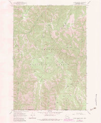
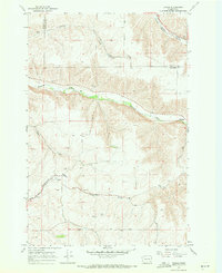
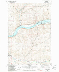
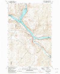
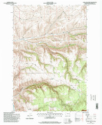
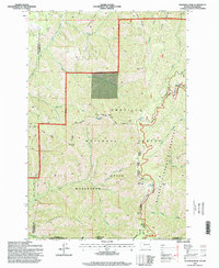
Patit sits at the northern edge of this high-country landscape, where the waters of Patit Creek and its tributaries, North Patit Creek and West Patit Creek, have carved a complex network of canyons and ridges. The terrain rises sharply toward the south into the Umatilla NF, culminating at the summit of Cahill Mtn. This 2023 survey illustrates a modern rural landscape defined by an intricate system of ridge-top and valley-floor roads, such as Malcolm Grade Rd and Skyline Dr, which provide access to the steep drainage systems of Rodgers Gulch and Cougar Canyon. The inclusion of Pioneer Memorial Park near the center of the map suggests a site of local significance or recreation amidst the timber and grazing lands that characterize this portion of Columbia County. For the researcher, the map preserves the exact alignment of historical routes like Patit Rd and Lewis Gulch Rd as they navigate the dramatic relief of Starvout Ridge.
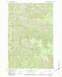
Find a feature on this map
39 named features on this map. Tap any name to fly to it.
Don’t see what you’re looking for? This feature index may not catch every label — zoom into the map to look around manually.
Map Details
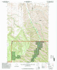
Editions of this 2023 Cahill Mountain Map
This is the sole edition of this map. No revisions or reprints were ever made.
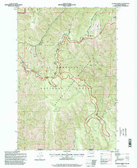
Historical Maps of Patit Through Time
40 maps found
1967 Cahill Mountain
Columbia County, WA
1967 Deadman Peak
Columbia County, WA
1967 Eckler Mtn
Columbia County, WA
1967 Godman Spring
Columbia County, WA
1967 Hopkins Ridge
Columbia County, WA
1967 Huntsville
Columbia County, WA
1967 Kellogg Creek
Columbia County, WA
1967 Oregon Butte
Columbia County, WA
1967 Panjab Creek
Columbia County, WA
1967 Robinette Mtn.
Columbia County, WA
1967 Tucannon
Columbia County, WA
1967 Turner
Columbia County, WA
1967 Waitsburg NW
Columbia County, WA
1976 Cahill Mtn
Columbia County, WA
1981 Delaney
Columbia County, WA
1981 Starbuck East
Columbia County, WA
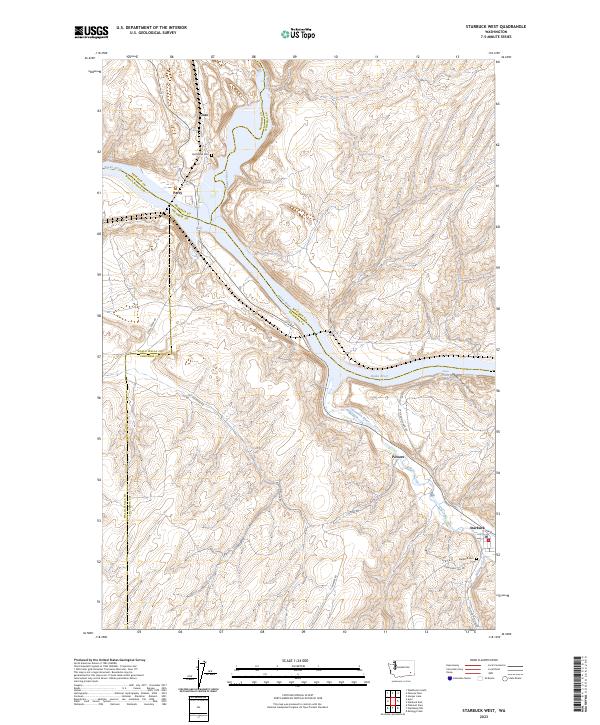
1981 Starbuck West
Columbia County, WA
1995 Cahill Mountain
Columbia County, WA
1995 Deadman Peak
Columbia County, WA
1995 Eckler Mountain
Columbia County, WA
1995 Godman Spring
Columbia County, WA
1995 Hopkins Ridge
Columbia County, WA
1995 Oregon Butte
Columbia County, WA
1995 Panjab Creek
Columbia County, WA
2023 Cahill Mountain
Columbia County, WA
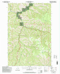
2023 Deadman Peak
Columbia County, WA
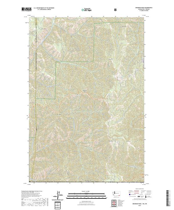
2023 Delaney
Columbia County, WA
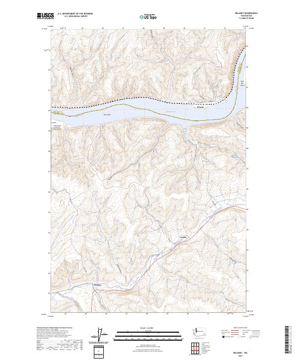
2023 Eckler Mountain
Columbia County, WA
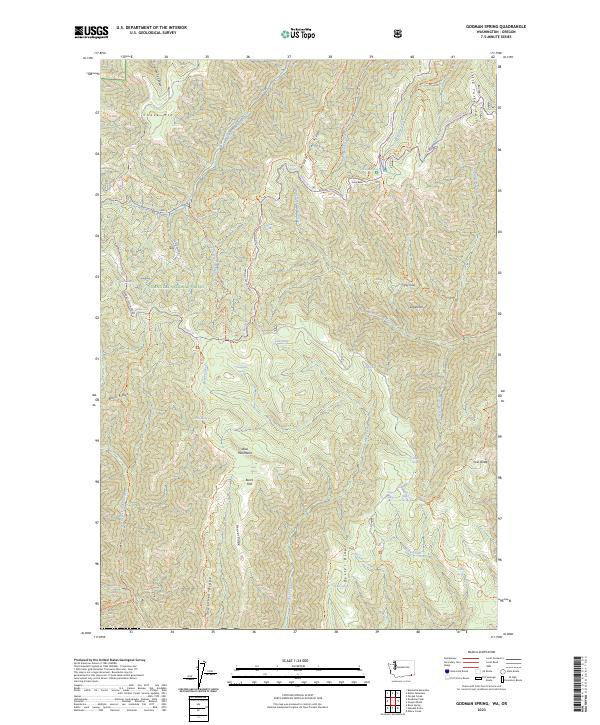
2023 Godman Spring
Columbia County, WA
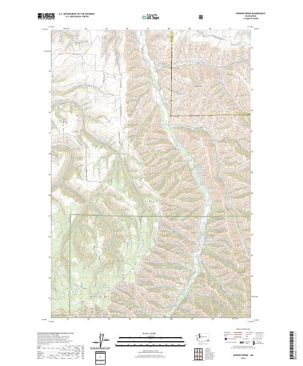
2023 Hopkins Ridge
Columbia County, WA
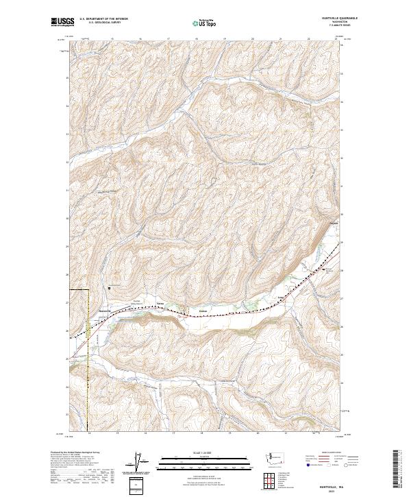
2023 Huntsville
Columbia County, WA
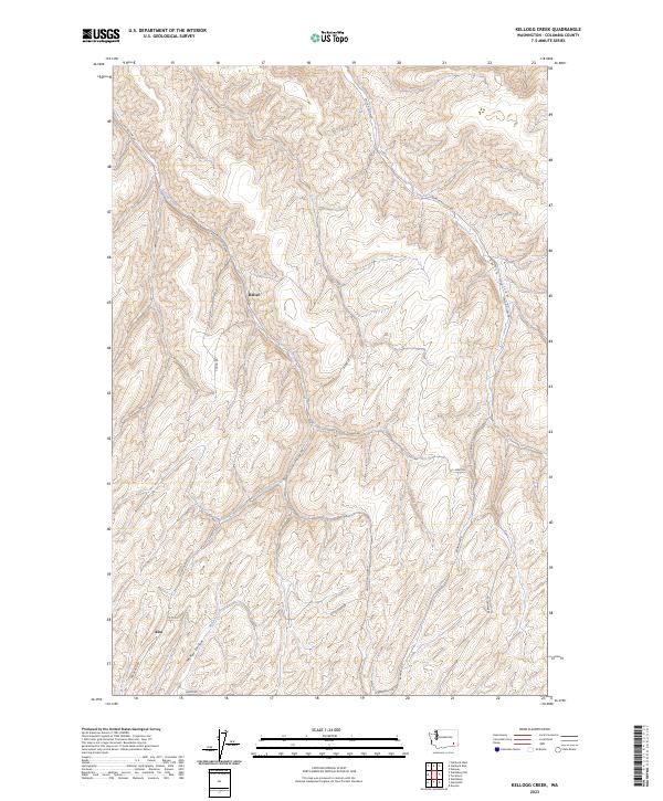
2023 Kellogg Creek
Columbia County, WA
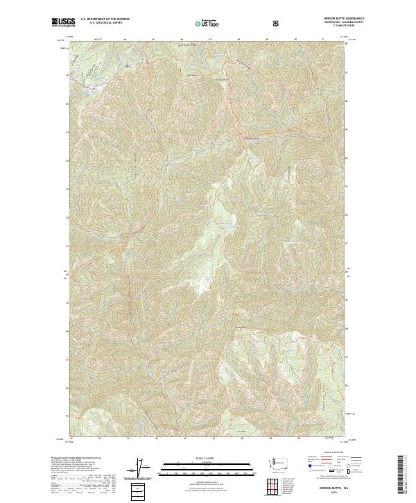
2023 Oregon Butte
Columbia County, WA
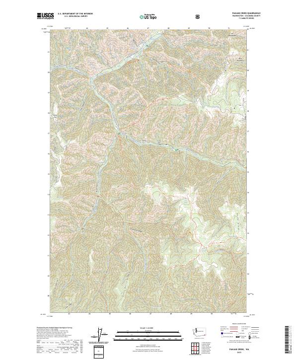
2023 Panjab Creek
Columbia County, WA
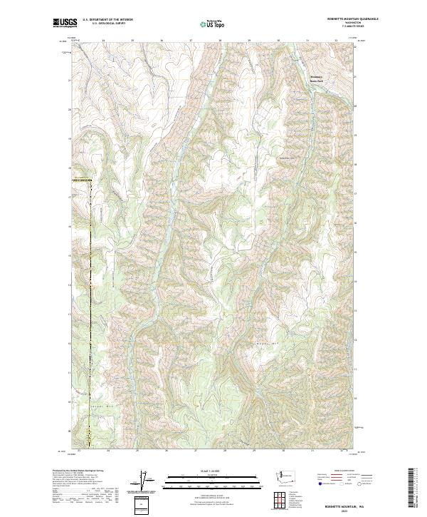
2023 Robinette Mountain
Columbia County, WA
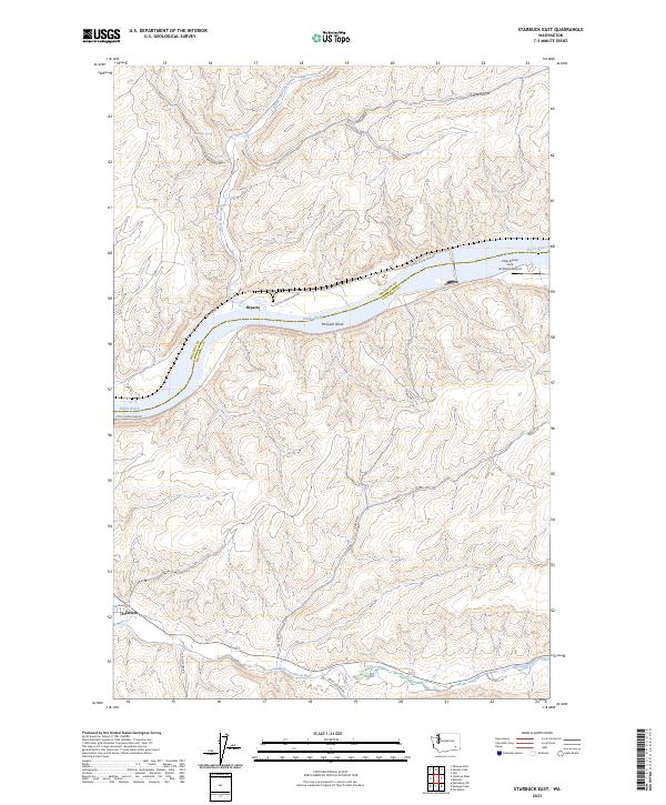
2023 Starbuck East
Columbia County, WA
2023 Starbuck West
Columbia County, WA
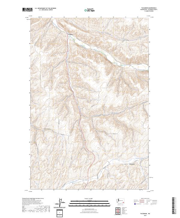
2023 Tucannon
Columbia County, WA
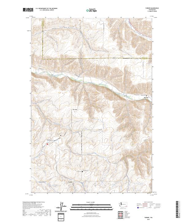
2023 Turner
Columbia County, WA
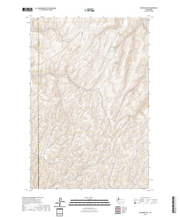
2023 Waitsburg NW
Columbia County, WA