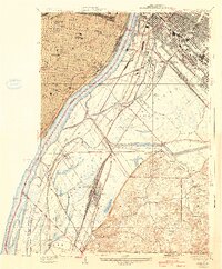
1940 Map of Cahokia
USGS Topo · Published 1940About this map
The Mississippi River creates a stark divide between the urban grid of St Louis and the industrial bottomlands of Illinois during the 1930s. The Missouri side is densely developed with civic landmarks like Lafayette Park and the U S Marine Hospital, while the Illinois bank showcases a sprawling rail-and-river network. The American Bottoms is crisscrossed by numerous rail lines including the Terminal Railroad Association and the Alton and Southern Railroad, supporting the growth of Monsanto, Dupo, and Cahokia. This transition zone is characterized by its complex drainage, where features like Cahokia Slough and Prairie du Pont Creek weave through the landscape. Further south, the terrain rises into the Sugar Loaf area, where rural icons like Droit Sch and Jackson Sch reflect the more dispersed settlement patterns found away from the river's industrial edge.
Find a feature on this map
50 named features on this map. Tap any name to fly to it.
Don’t see what you’re looking for? This feature index may not catch every label — zoom into the map to look around manually.
Map Details
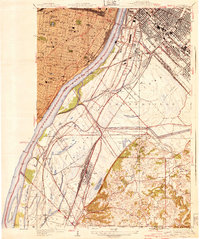
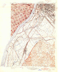
Editions of this 1940 Cahokia Map
3 editions found
Other maps of this area

1888 · St. Louis
USGS Topo · 1:62,500

1910 · Waterloo
USGS Topo · 1:62,500

1912 · Kimmswick
USGS Topo · 1:62,500

1913 · Waterloo
USGS Topo · 1:62,500

1916 · Kimmswick
USGS Topo · 1:62,500

1931 · French Village
USGS Topo · 1:24,000

1933 · Granite City
USGS Topo · 1:24,000

1933 · Jefferson Barracks
USGS Topo · 1:24,000

1933 · Cahokia
USGS Topo · 1:24,000

1933 · Clayton
USGS Topo · 1:24,000