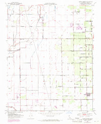
1950 Map of Cairns Corner
USGS Topo · Published 1971About this map
Agricultural development and rural transport networks define this section of the San Joaquin Valley during the mid-20th century. The settlement of Plainview anchors the southeastern corner, while smaller crossroads like Spinks Corner and Cairns Corner serve as local hubs for the surrounding orchards and fields. This landscape is intricately carved by irrigation and drainage systems, including the meandering paths of Outside Creek and Inside Creek, which contrast with the straight-line precision of the local road grid.
Find a feature on this map
38 named features on this map. Tap any name to fly to it.
Don’t see what you’re looking for? This feature index may not catch every label — zoom into the map to look around manually.
Map Details
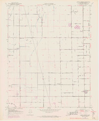
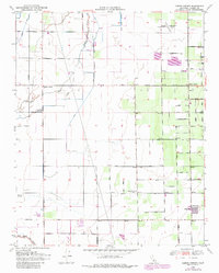
Editions of this 1950 Cairns Corner Map
3 editions found
Other maps of this area

1925 · Rocky Hill
USGS Topo · 1:31,680

1925 · Tulare
USGS Topo · 1:31,680

1925 · Tipton
USGS Topo · 1:31,680

1926 · Exeter
USGS Topo · 1:31,680

1927 · Cairns Corner
USGS Topo · 1:31,680

1927 · Rocky Hill
USGS Topo · 1:31,680

1927 · Visalia
USGS Topo · 1:31,680

1927 · Tulare
USGS Topo · 1:31,680

1928 · Tipton
USGS Topo · 1:31,680

1928 · Woodville
USGS Topo · 1:31,680