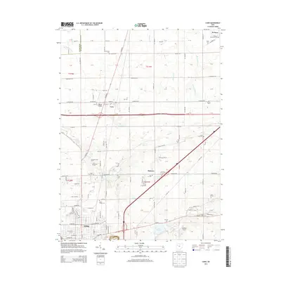
2013 Map of Cairo
USGS Topo · Published 2013About this map
The Ottawa River and the sprawling Lima Reservoir anchor the southern reach of this Allen County landscape as the city of Lima expands northward. This 2013 survey captures a transition from the urban grid of the county seat to the agricultural townships of Cairo and Rockport. A remarkable concentration of historic burying grounds, such as the Rockport Presbyterian Cem and the State Hospital Cem, are preserved across the landscape, providing essential touchstones for genealogical research in the region. The small settlements of Cairo and West Cairo sit at a significant crossroads, while smaller hamlets like Slabtown remain identified along the course of Sugar Cr. The terrain is defined by a network of drainage including Rattlesnake Cr and Little Cranberry Cr, which influenced the placement of original farmsteads and rural roads like Miller Rd and the historic Lincoln Hwy.
Find a feature on this map
125 named features on this map. Tap any name to fly to it.
Don’t see what you’re looking for? This feature index may not catch every label — zoom into the map to look around manually.
Map Details
Editions of this 2013 Cairo Map
This is the sole edition of this map. No revisions or reprints were ever made.
Other maps of this area

1906 · Lima
USGS Topo · 1:62,500

1906 · Columbus Grove
USGS Topo · 1:62,500

1907 · Bluffton
USGS Topo · 1:62,500

1908 · Columbus Grove
USGS Topo · 1:62,500

1913 · Alger
USGS Topo · 1:48,000

1915 · Alger
USGS Topo · 1:62,500

1943 · Alger
USGS Topo · 1:62,500

1950 · Marion
USGS Topo · 1:250,000

1953 · Muncie
USGS Topo · 1:250,000

1956 · Muncie
USGS Topo · 1:250,000