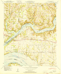
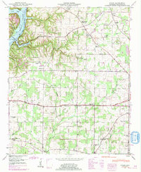
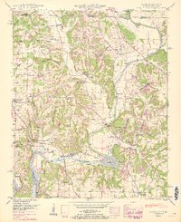
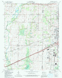
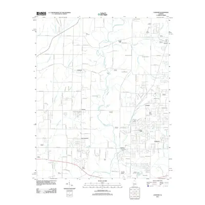
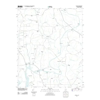
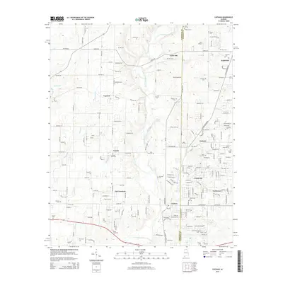
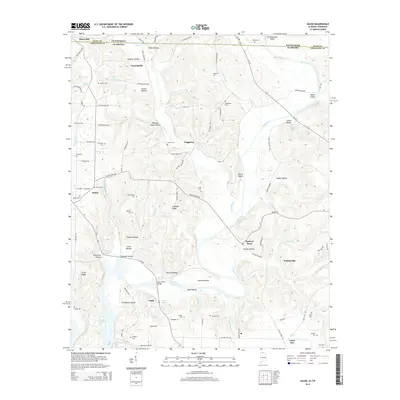
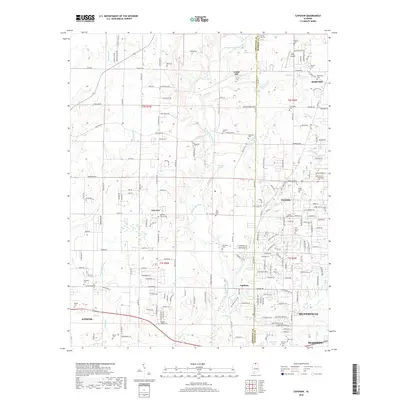
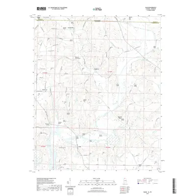
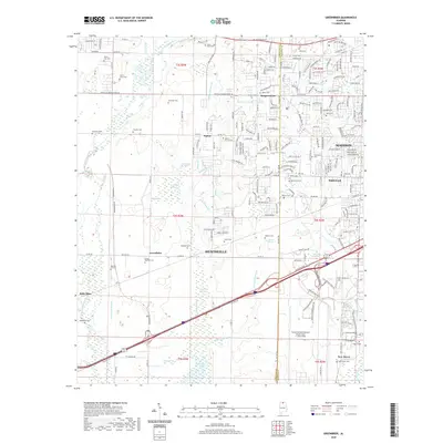
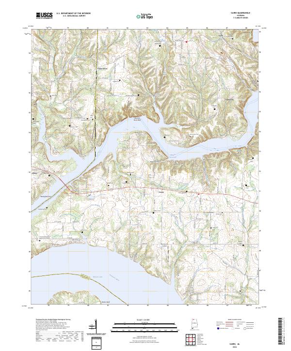
1950 Map of Cairo
USGS Topo · Published 1950About this map
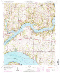
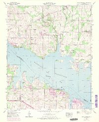
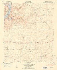
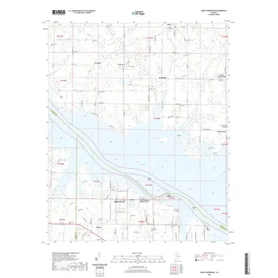
Wheeler Reservoir dominates this landscape where the Elk River and Tennessee River converge. This 1948 field examination shows a region defined by its waterway access, featuring several recreation points like the Stewart Ferry Cabin Site Area and Poplar Springs Branch Cabin Site Area. The map documents a dense network of rural community life before mid-century modernization, centering on small settlements like Cairo and Lentzville.
Find a feature on this map
82 named features on this map. Tap any name to fly to it.
Don’t see what you’re looking for? This feature index may not catch every label — zoom into the map to look around manually.
Map Details
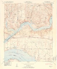
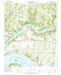
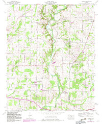
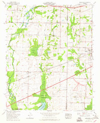
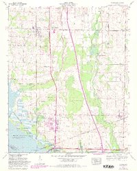
Editions of this 1950 Cairo Map
4 editions found
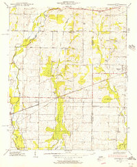
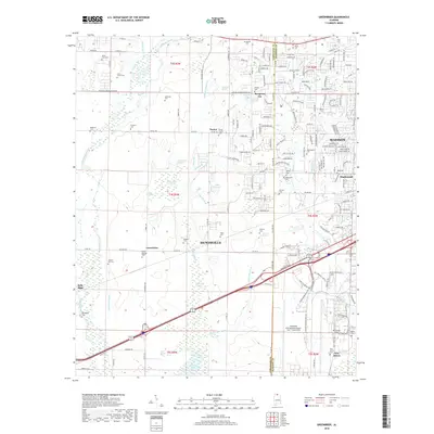
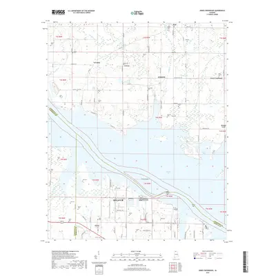
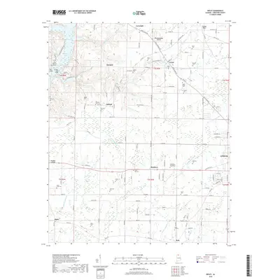
Historical Maps of Rogersville Through Time
65 maps found

1936 Cairo
Limestone County, AL

1936 Capshaw
Limestone County, AL

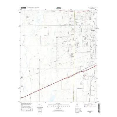
1936 Greenbrier
Limestone County, AL

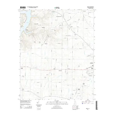
1936 Ripley
Limestone County, AL

1936 Salem
Limestone County, AL

1936 Stewart Cross Roads
Limestone County, AL

1936 Tanner
Limestone County, AL

1936 Union Hill
Limestone County, AL
1938 Greenbrier
Limestone County, AL

1938 Tanner
Limestone County, AL
1948 Ripley
Limestone County, AL

1948 Salem
Limestone County, AL

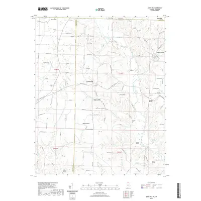
1948 Union Hill
Limestone County, AL
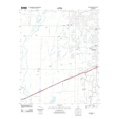
1950 Cairo
Limestone County, AL
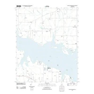
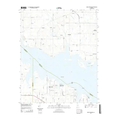
1950 Jones Crossroads
Limestone County, AL
1951 Ripley
Limestone County, AL
1951 Salem
Limestone County, AL

1951 Union Hill
Limestone County, AL
1958 Capshaw
Limestone County, AL
1963 Greenbrier
Limestone County, AL
1963 Tanner
Limestone County, AL
1975 Greenbrier
Limestone County, AL

1976 Jones Crossroads
Limestone County, AL
2010 Salem
Limestone County, AL
2010 Union Hill
Limestone County, AL
2011 Cairo
Limestone County, AL
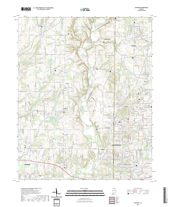
2011 Capshaw
Limestone County, AL
2011 Greenbrier
Limestone County, AL
2011 Jones Crossroads
Limestone County, AL
2011 Ripley
Limestone County, AL
2011 Salem
Limestone County, AL
2011 Tanner
Limestone County, AL
2011 Union Hill
Limestone County, AL
2014 Cairo
Limestone County, AL
2014 Capshaw
Limestone County, AL
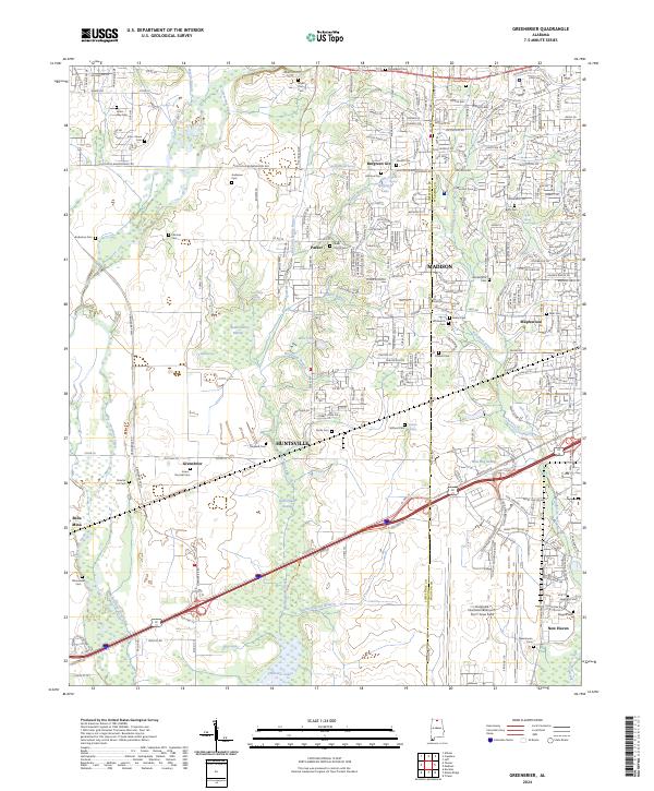
2014 Greenbrier
Limestone County, AL
2014 Jones Crossroads
Limestone County, AL
2014 Ripley
Limestone County, AL
2014 Salem
Limestone County, AL
2014 Tanner
Limestone County, AL
2014 Union Hill
Limestone County, AL
2018 Cairo
Limestone County, AL
2018 Capshaw
Limestone County, AL
2018 Greenbrier
Limestone County, AL
2018 Jones Crossroads
Limestone County, AL
2018 Ripley
Limestone County, AL
2018 Salem
Limestone County, AL

2018 Tanner
Limestone County, AL
2018 Union Hill
Limestone County, AL
2020 Cairo
Limestone County, AL
2020 Capshaw
Limestone County, AL
2020 Greenbrier
Limestone County, AL
2020 Jones Crossroads
Limestone County, AL

2020 Ripley
Limestone County, AL
2020 Salem
Limestone County, AL
2020 Tanner
Limestone County, AL
2020 Union Hill
Limestone County, AL
2024 Cairo
Limestone County, AL
2024 Capshaw
Limestone County, AL
2024 Greenbrier
Limestone County, AL

2024 Jones Crossroads
Limestone County, AL
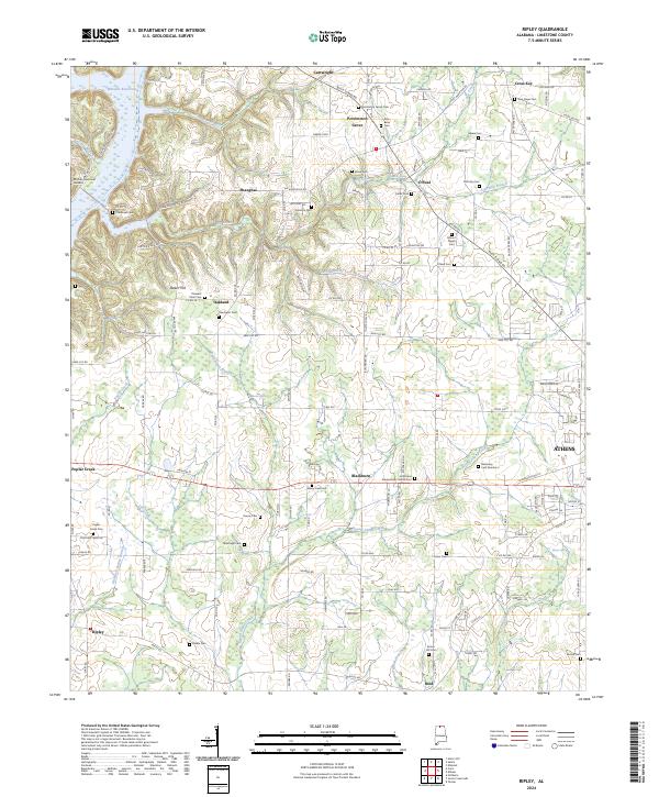
2024 Ripley
Limestone County, AL
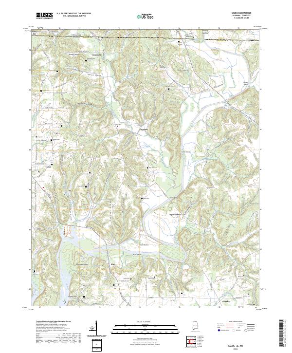
2024 Salem
Limestone County, AL
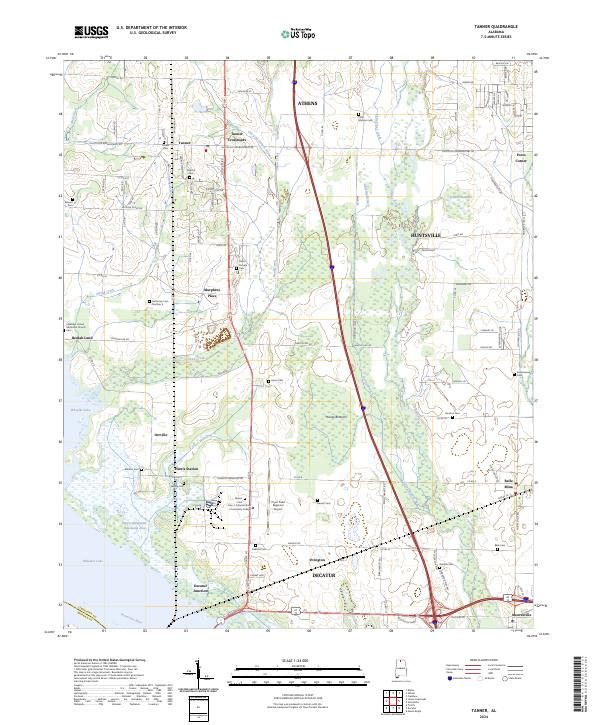
2024 Tanner
Limestone County, AL

2024 Union Hill
Limestone County, AL
Featured Locations
- Coxey Creek Subdivision, AL
- Cave Spring, AL
- Anderson Creek Estates, AL
- Anderson Creek Subdivision, AL
- Rogersville, AL