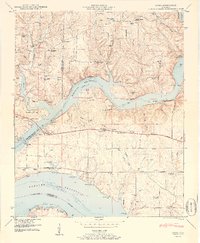
1950 Map of Cairo
USGS Topo · Published 1960About this map
Wheeler Reservoir dominates this landscape where the Elk River and Tennessee River converge at the borders of Lauderdale, Limestone, and Lawrence Counties. The map reveals a post-impoundment geography, showing the Wheeler Reservation Boundary following the shoreline. Communities like Cairo and Lentzville appear alongside numerous rural landmarks that suggest a deeply rooted social fabric. A high density of family-named cemeteries, including Barker Cem, Higgens Cem, and Bedingfield Cem, provides invaluable data for genealogists tracing early North Alabama families. Education and faith are central to the settlement pattern, anchored by institutions such as Pleasant Valley School, Confluence School, and Temperance Oak Church. The inclusion of the Stewart Ferry Cabin Site Area and Poplar Springs Branch Cabin Site Area points to the evolving recreational use of the riverbanks following the creation of the reservoir.
Find a feature on this map
89 named features on this map. Tap any name to fly to it.
Don’t see what you’re looking for? This feature index may not catch every label — zoom into the map to look around manually.
Map Details
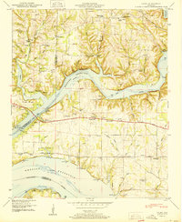
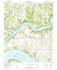
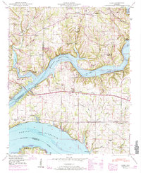
Editions of this 1950 Cairo Map
4 editions found
Other maps of this area

1914 · Rogersville
USGS Topo · 1:48,000

1916 · Rogersville
USGS Topo · 1:62,500

1936 · Union Hill
USGS Topo · 1:24,000

1936 · Thorntontown
USGS Topo · 1:24,000

1936 · Stewart Cross Roads
USGS Topo · 1:24,000

1936 · Courtland
USGS Topo · 1:24,000

1936 · Lexington
USGS Topo · 1:24,000

1936 · Ripley
USGS Topo · 1:24,000

1936 · Hillsboro
USGS Topo · 1:24,000

1936 · Cairo
USGS Topo · 1:24,000
Featured Places
- Rogersville, AL
- Anderson Creek Estates, AL
- Anderson Creek Subdivision, AL
- Cave Spring, AL
- Coxey Creek Subdivision, AL