Loading...
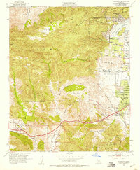
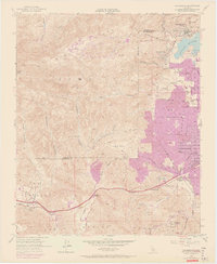
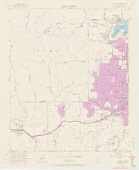
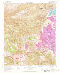
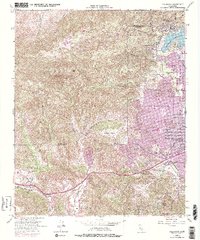
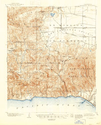
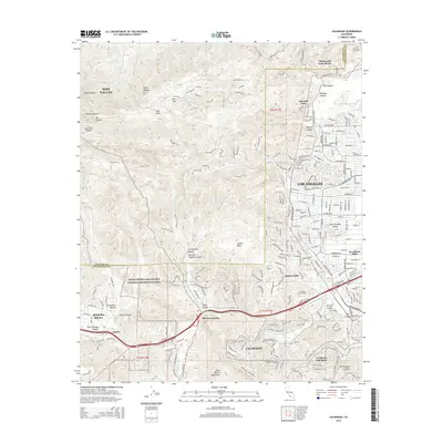
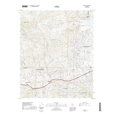
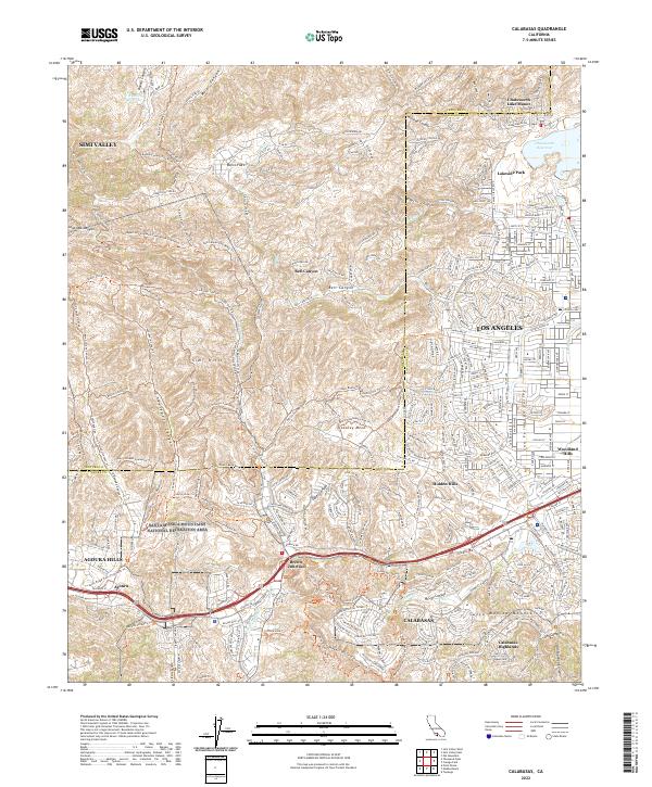
Loading map...1952 Map of Calabasas
USGS Topo · Published 1958About this map
The Simi Hills and northern Santa Monica Mountains dominate this 1952 topographic study, capturing a moment when the San Fernando Valley's westward expansion was still defined by orchards and open ranch land. Small settlements and specialized enclaves like Chatsworth Lake Manor and Lakeside Park sit at the edges of the rugged canyons, while Woodland Hills shows the early geometric grid of suburban development.
Find a feature on this map
53 named features on this map. Tap any name to fly to it.
Don’t see what you’re looking for? This feature index may not catch every label — zoom into the map to look around manually.
Map Details
Date Portrayed1952
Date Published1958
PublisherU.S. Geological Survey
Map TypeTopographic
Scale1:24,000
Physical Dimensions22 x 26.8 inches
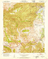
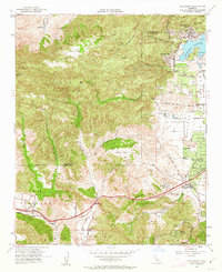
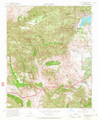
Editions of this 1952 Calabasas Map
9 editions found
Historical Maps of Los Angeles Through Time
8 maps found

Featured Locations
Source Details
SourceU.S. Geological Survey
CopyrightPublic Domain