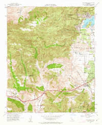
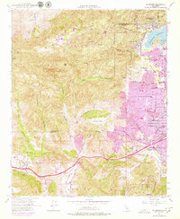
1952 Map of Calabasas
USGS Topo · Published 1963About this map
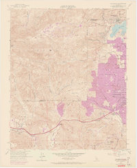
Simi Hills and the northern reaches of the Santa Monica Mountains dominate this 1952 topographic study, documenting the landscape before the heavy suburban expansion of the later 20th century. Along the southern corridor, the Ventura Freeway and Ventura Blvd connect the growing communities of Agoura, Brents Junction, and Calabasas. The map captures notable local landmarks such as the Motion Picture Country House and Hospital and a curiously labeled A Pet Cemetery near the Los Angeles city boundary. To the northeast, the massive Chatsworth Reservoir sits adjacent to Chatsworth Lake Manor and Lakeside Park. The terrain is defined by a complex network of drainage systems, including Las Virgenes Canyon and Bell Canyon, which carve through the high ground of Laskey Mesa and Burro Flats.
Find a feature on this map
38 named features on this map. Tap any name to fly to it.
Don’t see what you’re looking for? This feature index may not catch every label — zoom into the map to look around manually.
Map Details
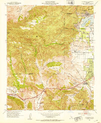
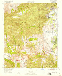
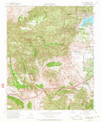
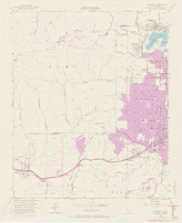
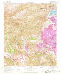
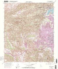
Editions of this 1952 Calabasas Map
9 editions found
Other maps of this area

1900 · Triunfo Pass
USGS Topo · 1:62,500

1900 · Piru
USGS Topo · 1:62,500

1903 · Calabasas
USGS Topo · 1:62,500

1903 · Camulos
USGS Topo · 1:125,000

1903 · Santa Susana
USGS Topo · 1:62,500

1921 · Piru
USGS Topo · 1:62,500

1921 · Triunfo Pass
USGS Topo · 1:62,500

1925 · Chatsworth
USGS Topo · 1:24,000

1927 · Chatsworth
USGS Topo · 1:24,000

1928 · Dry Canyon
USGS Topo · 1:24,000