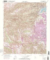
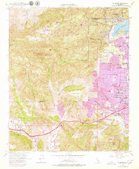
1952 Map of Calabasas
USGS Topo · Published 1979About this map
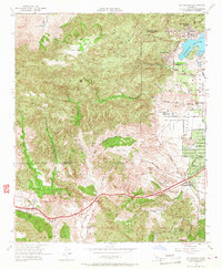
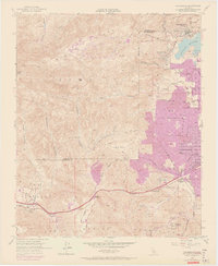
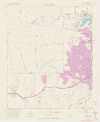
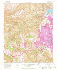
The Motion Picture Country House and Hospital stands at the eastern edge of the Santa Monica Mountains in this mid-century survey. Urban expansion from the Los Angeles City Boundary is visible in purple, pushing westward into the Simi Hills and El Escorpion. While the San Fernando Valley floor shows a growing grid of streets like Victory Blvd and Sherman Way, the western terrain remains defined by deep canyons such as Cheseboro Canyon and Palo Comado Canyon.
Find a feature on this map
47 named features on this map. Tap any name to fly to it.
Don’t see what you’re looking for? This feature index may not catch every label — zoom into the map to look around manually.
Map Details
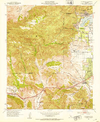
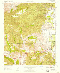
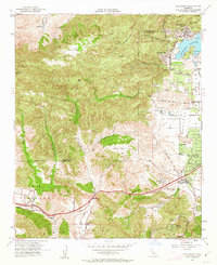
Editions of this 1952 Calabasas Map
9 editions found
Other maps of this area

1900 · Triunfo Pass
USGS Topo · 1:62,500

1900 · Piru
USGS Topo · 1:62,500

1903 · Calabasas
USGS Topo · 1:62,500

1903 · Camulos
USGS Topo · 1:125,000

1903 · Santa Susana
USGS Topo · 1:62,500

1921 · Piru
USGS Topo · 1:62,500

1921 · Triunfo Pass
USGS Topo · 1:62,500

1925 · Chatsworth
USGS Topo · 1:24,000

1927 · Chatsworth
USGS Topo · 1:24,000

1928 · Dry Canyon
USGS Topo · 1:24,000