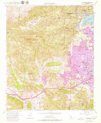
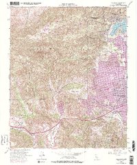
1952 Map of Calabasas
USGS Topo · Published 1979About this map
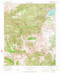
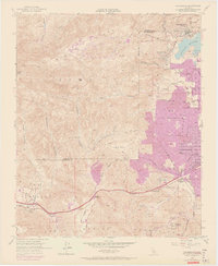
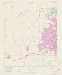
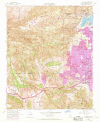
Simi Hills and the northern reaches of the Santa Monica Mountains define this landscape on the edge of the San Fernando Valley during a period of rapid post-war expansion. While the western portion of the sheet remains dominated by deep canyons like Cheeseboro Canyon and Palo Comado Canyon, the eastern edge shows the encroaching purple tint of urban development. This 1952 survey, updated with 1967 aerial data, documents the establishment of planned communities such as Hidden Hills and Calabasas Highlands. A notable landmark of the era is the Motion Picture Country House and Hospital, reflecting the region's deep ties to the film industry. The map also captures the historic El Escorpion boundary and the early alignment of the Ventura Freeway as it began to reshape local transit through Brents Junction and Agoura.
Find a feature on this map
50 named features on this map. Tap any name to fly to it.
Don’t see what you’re looking for? This feature index may not catch every label — zoom into the map to look around manually.
Map Details
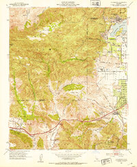
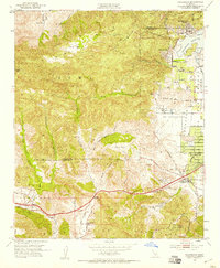
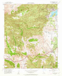
Editions of this 1952 Calabasas Map
9 editions found
Other maps of this area

1900 · Triunfo Pass
USGS Topo · 1:62,500

1900 · Piru
USGS Topo · 1:62,500

1903 · Calabasas
USGS Topo · 1:62,500

1903 · Camulos
USGS Topo · 1:125,000

1903 · Santa Susana
USGS Topo · 1:62,500

1921 · Piru
USGS Topo · 1:62,500

1921 · Triunfo Pass
USGS Topo · 1:62,500

1925 · Chatsworth
USGS Topo · 1:24,000

1927 · Chatsworth
USGS Topo · 1:24,000

1928 · Dry Canyon
USGS Topo · 1:24,000