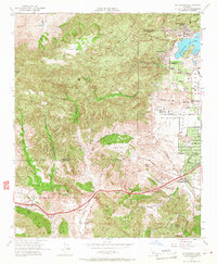
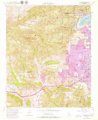
1952 Map of Calabasas
USGS Topo · Published 1967About this map
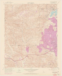
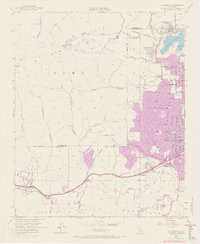
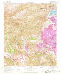
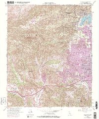
Simi Hills and the northern reaches of the Santa Monica Mountains define the topography of this early 1950s survey. The landscape is a mix of rugged canyons like Cheseboro Canyon and Palo Comado Canyon alongside expanding postwar residential developments. The eastern portion of the map shows the emerging suburban grid of Woodland Hills and Chatsworth Lake Manor, while the south features the iconic Motion Picture Country House and Hospital. The presence of the Chatsworth Reservoir and smaller water bodies like Lees Lake highlights the importance of water management in this arid valley. Major transportation routes are captured in their mid-century state, including the Ventura Freeway and Mulholland Drive, reflecting the region's transition into a modern commuter corridor while still retaining large open spaces like Burro Flats and El Escorpion.
Find a feature on this map
50 named features on this map. Tap any name to fly to it.
Don’t see what you’re looking for? This feature index may not catch every label — zoom into the map to look around manually.
Map Details
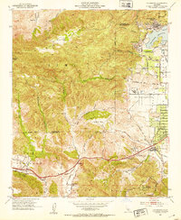
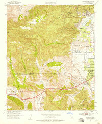
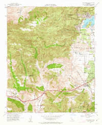
Editions of this 1952 Calabasas Map
9 editions found
Other maps of this area

1900 · Triunfo Pass
USGS Topo · 1:62,500

1900 · Piru
USGS Topo · 1:62,500

1903 · Calabasas
USGS Topo · 1:62,500

1903 · Camulos
USGS Topo · 1:125,000

1903 · Santa Susana
USGS Topo · 1:62,500

1921 · Piru
USGS Topo · 1:62,500

1921 · Triunfo Pass
USGS Topo · 1:62,500

1925 · Chatsworth
USGS Topo · 1:24,000

1927 · Chatsworth
USGS Topo · 1:24,000

1928 · Dry Canyon
USGS Topo · 1:24,000