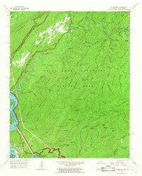
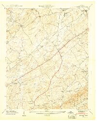
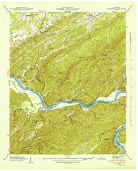
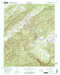
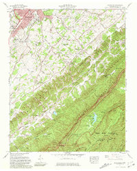
1964 Map of Calderwood
USGS Topo · Published 1967This historical map portrays the area of Calderwood in 1964, primarily covering Blount County as well as portions of North Carolina. Featuring a scale of 1:24000, this map provides a highly detailed snapshot of the terrain, roads, buildings, counties, and historical landmarks in the Calderwood region at the time. Published in 1967, it is one of 3 known editions of this map due to revisions or reprints.
Find a feature on this map
100 named features on this map. Tap any name to fly to it.
Don’t see what you’re looking for? This feature index may not catch every label — zoom into the map to look around manually.
Map Details
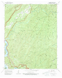
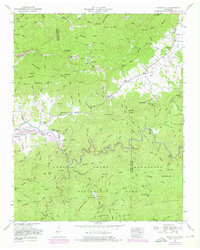
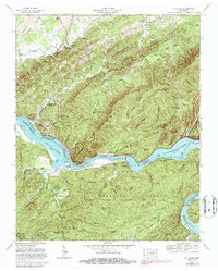
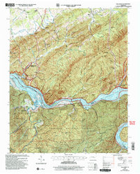
Editions of this 1964 Calderwood Map
3 editions found
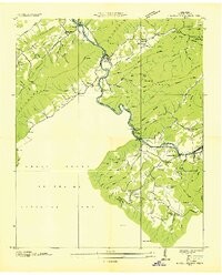
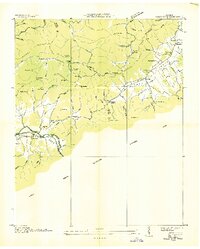
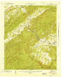
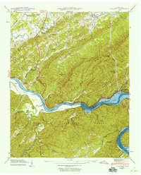
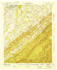
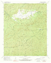
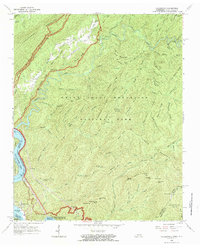
Historical Maps of Monroe County Through Time
25 maps found

1935 Binfield
Blount County, TN

1935 Blockhouse
Blount County, TN

1935 Calderwood
Blount County, TN

1935 Tallassee
Blount County, TN
1936 Kinzel Springs
Blount County, TN
1936 Wear Cove
Blount County, TN
1941 Binfield
Blount County, TN
1941 Kinzel Springs
Blount County, TN
1941 Tallassee
Blount County, TN
1942 Blockhouse
Blount County, TN
1942 Tallassee
Blount County, TN
1942 Wear Cove
Blount County, TN
1952 Binfield
Blount County, TN
1953 Blockhouse
Blount County, TN
1953 Kinzel Springs
Blount County, TN
1953 Wear Cove
Blount County, TN
1964 Cades Cove
Blount County, TN
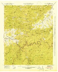
1964 Calderwood
Blount County, TN
1966 Blockhouse
Blount County, TN
1966 Tallassee
Blount County, TN

2000 Cades Cove
Blount County, TN

2000 Calderwood
Blount County, TN

2000 Thunderhead Mtn
Blount County, TN

2003 Calderwood
Blount County, TN
2003 Tallassee
Blount County, TN