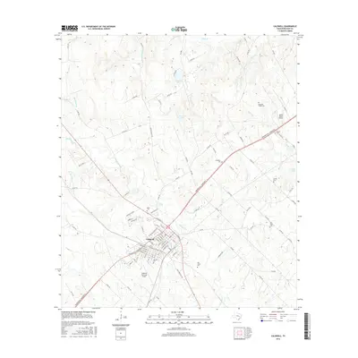
2016 Map of Caldwell
USGS Topo · Published 2016About this map
Caldwell serves as the central hub of this Burleson County landscape, where a dense network of city streets meets the converging paths of Presidential Corridor E and various farm-to-market roads. The town's historic footprint is anchored by the Masonic Cem and the nearby Caldwell Municipal Airport, while the surrounding countryside is defined by small water bodies like Garwood Lake and Woodrow Lake.
Find a feature on this map
110 named features on this map. Tap any name to fly to it.
Don’t see what you’re looking for? This feature index may not catch every label — zoom into the map to look around manually.
Map Details
Editions of this 2016 Caldwell Map
This is the sole edition of this map. No revisions or reprints were ever made.
Other maps of this area

1919 · Dime Box
USGS Topo · 1:62,500

1954 · Austin
USGS Topo · 1:250,000

1956 · Caldwell
USGS Topo · 1:62,500

1956 · Milano
USGS Topo · 1:62,500

1956 · Somerville
USGS Topo · 1:62,500

1960 · Lyons
USGS Topo · 1:24,000
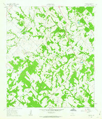
1960 · Frenstat
USGS Topo · 1:24,000
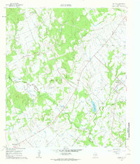
1960 · Deanville
USGS Topo · 1:24,000
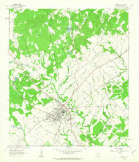
1961 · Caldwell
USGS Topo · 1:24,000

1961 · Mumford
USGS Topo · 1:24,000