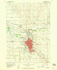
1958 Map of Caldwell
USGS Topo · Published 1960About this map
The irrigation-rich landscape of Canyon Co. in the late 1950s is defined by a dense network of waterways including the Phyllis Canal, Farmers Cooperative Canal, and Notus Canal. These engineering works transformed the Idaho desert into a productive agricultural hub, supporting the growth of Caldwell and satellite settlements like Notus, Enrose, and Midway. The central city is shown during a period of institutional expansion, featuring the College of Idaho, the Gem State Academy, and several public facilities such as Jefferson Jr High Sch and Lincoln School.
Find a feature on this map
97 named features on this map. Tap any name to fly to it.
Don’t see what you’re looking for? This feature index may not catch every label — zoom into the map to look around manually.
Map Details
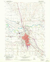
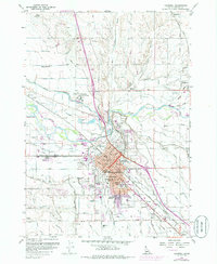
Editions of this 1958 Caldwell Map
3 editions found
Other maps of this area

1898 · Nampa
USGS Topo · 1:125,000

1955 · Boise
USGS Topo · 1:250,000

1957 · Notus
USGS Topo · 1:24,000

1958 · Boise
USGS Topo · 1:250,000
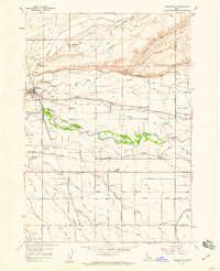
1958 · Middleton
USGS Topo · 1:24,000
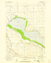
1958 · Lake Lowell
USGS Topo · 1:24,000
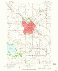
1958 · Nampa
USGS Topo · 1:24,000
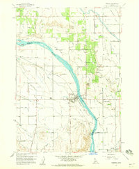
1958 · Marsing
USGS Topo · 1:24,000

1962 · Boise
USGS Topo · 1:250,000
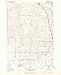
1965 · Parma SE
USGS Topo · 1:24,000