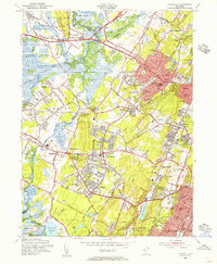
1954 Map of Caldwell
USGS Topo · Published 1956About this map
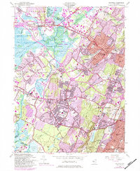
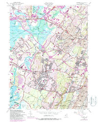
Caldwell and its neighboring boroughs of Essex Fells, Roseland, and Livingston are shown during a period of significant post-war expansion. The dense street grids of the eastern towns contrast sharply with the sprawling Great Piece Meadows and the floodplains of the Passaic River to the west. This mid-century landscape is defined by its educational and institutional foundations, from the Caldwell College for Women to specialized facilities like the Kessler Institute and the County Sanitarium.
Find a feature on this map
104 named features on this map. Tap any name to fly to it.
Don’t see what you’re looking for? This feature index may not catch every label — zoom into the map to look around manually.
Map Details
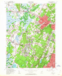
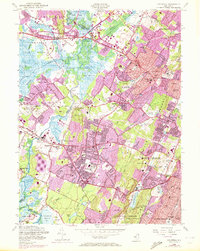
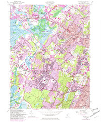
Editions of this 1954 Caldwell Map
6 editions found
Other maps of this area

1888 · Plainfield
USGS Topo · 1:62,500

1888 · Morristown
USGS Topo · 1:62,500

1888 · Paterson
USGS Topo · 1:62,500

1892 · Paterson
USGS Topo · 1:62,500

1893 · Plainfield
USGS Topo · 1:62,500

1894 · Morristown
USGS Topo · 1:62,500

1898 · Morristown
USGS Topo · 1:62,500

1898 · Plainfield
USGS Topo · 1:62,500

1898 · Staten Island
USGS Topo · 1:62,500

1898 · Paterson
USGS Topo · 1:62,500