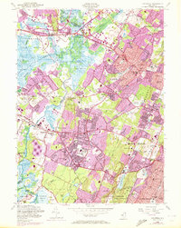
1954 Map of Caldwell
USGS Topo · Published 1972About this map
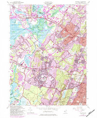
Hatfield Swamp and the Great Piece Meadows form a broad, low-lying basin where the Passaic River meets the Rockaway River and Whippany River. This landscape of wetlands and winding brooks contrasts sharply with the suburban intensification shown in purple revision tints from 1970. The era's institutional footprint is substantial, featuring the Caldwell College for Women and Northeastern Bible Institute, alongside the County Sanitarium near North Caldwell.
Find a feature on this map
90 named features on this map. Tap any name to fly to it.
Don’t see what you’re looking for? This feature index may not catch every label — zoom into the map to look around manually.
Map Details
Editions of this 1954 Caldwell Map
6 editions found
Other maps of this area

1888 · Plainfield
USGS Topo · 1:62,500

1888 · Morristown
USGS Topo · 1:62,500

1888 · Paterson
USGS Topo · 1:62,500

1892 · Paterson
USGS Topo · 1:62,500

1893 · Plainfield
USGS Topo · 1:62,500

1894 · Morristown
USGS Topo · 1:62,500

1898 · Morristown
USGS Topo · 1:62,500

1898 · Plainfield
USGS Topo · 1:62,500

1898 · Staten Island
USGS Topo · 1:62,500

1898 · Paterson
USGS Topo · 1:62,500