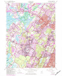
1954 Map of Caldwell
USGS Topo · Published 1984About this map
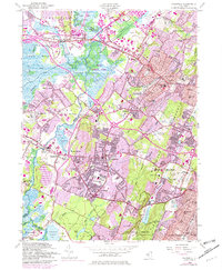
First Mountain and Second Mountain of the Watchung range dominate this landscape, which transitioned rapidly from the riverine agriculture of the Passaic River valley to a suburban industrial corridor by the mid-20th century. The intricate transport network of the Erie Railroad and local arteries like Bloomfield Ave connect established boroughs like Caldwell and Verona with emerging residential developments. Significant institutional footprints are visible throughout the region, including the Caldwell College For Women and the County Sanitarium. While the eastern slopes are densely developed, the west retains the expansive West Essex Park Swamp and Great Piece Meadows, illustrating the geographic constraints that shaped the growth of Livingston and Roseland. Local genealogy is well-served by the presence of numerous neighborhood schools and the Gate of Heaven Cemetery.
Find a feature on this map
89 named features on this map. Tap any name to fly to it.
Don’t see what you’re looking for? This feature index may not catch every label — zoom into the map to look around manually.
Map Details
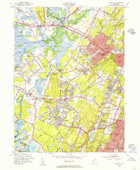
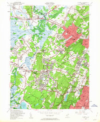
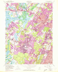
Editions of this 1954 Caldwell Map
6 editions found
Other maps of this area

1888 · Plainfield
USGS Topo · 1:62,500

1888 · Morristown
USGS Topo · 1:62,500

1888 · Paterson
USGS Topo · 1:62,500

1892 · Paterson
USGS Topo · 1:62,500

1893 · Plainfield
USGS Topo · 1:62,500

1894 · Morristown
USGS Topo · 1:62,500

1898 · Morristown
USGS Topo · 1:62,500

1898 · Plainfield
USGS Topo · 1:62,500

1898 · Staten Island
USGS Topo · 1:62,500

1898 · Paterson
USGS Topo · 1:62,500