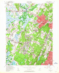
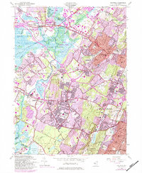
1954 Map of Caldwell
USGS Topo · Published 1963About this map
The Watchung Mountains define the character of this suburban New Jersey landscape, where the dramatic ridges of First Mountain and Second Mountain separate burgeoning residential developments from the wetlands of Hatfield Swamp. This mid-century view documents a transition as communities like Livingston and West Caldwell expand toward the Passaic River and Great Piece Meadows. Institutional and recreational land use is prominent, ranging from the County Penitentiary and County Sanitarium to the extensive South Mountain Reservation and numerous country clubs like Essex Fells Country Club.
Find a feature on this map
104 named features on this map. Tap any name to fly to it.
Don’t see what you’re looking for? This feature index may not catch every label — zoom into the map to look around manually.
Map Details
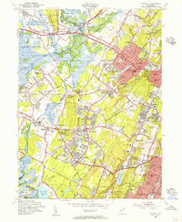
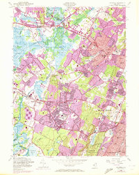
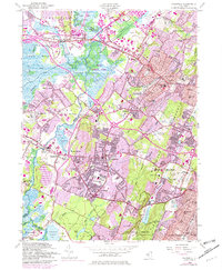
Editions of this 1954 Caldwell Map
6 editions found
Other maps of this area

1888 · Plainfield
USGS Topo · 1:62,500

1888 · Morristown
USGS Topo · 1:62,500

1888 · Paterson
USGS Topo · 1:62,500

1892 · Paterson
USGS Topo · 1:62,500

1893 · Plainfield
USGS Topo · 1:62,500

1894 · Morristown
USGS Topo · 1:62,500

1898 · Morristown
USGS Topo · 1:62,500

1898 · Plainfield
USGS Topo · 1:62,500

1898 · Staten Island
USGS Topo · 1:62,500

1898 · Paterson
USGS Topo · 1:62,500