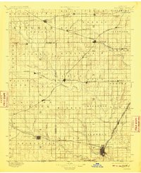
1897 Map of Caldwell
USGS Topo · Published 1909About this map
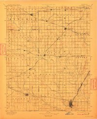
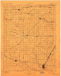
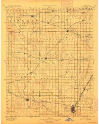
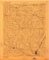
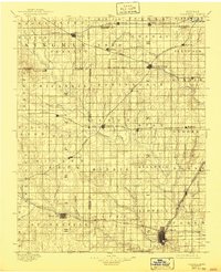
The Chikaskia River and Bluff Creek carve a path through this late nineteenth-century agricultural landscape in southern Kansas. Caldwell, positioned near the Boundary Line with Oklahoma, stands as a major rail hub where the Chicago Atchison Topeka and Santa Fe Railroad meets the Southwestern R. R. and the Missouri Pacific Railroad. This dense network of steel underscores the area's importance as a shipping point for grain and livestock during the region's primary settlement phase. Numerous small prairie towns like Argonia, Conway Springs, and Norwich are plotted along these competing lines, reflecting the rapid township development of Sumner and Kingman counties. Away from the tracks, the terrain is defined by a grid of named townships and small waterways like Prairie Creek and Sandy Creek, illustrating the transition of the open prairie into a highly organized agrarian economy.
Find a feature on this map
98 named features on this map. Tap any name to fly to it.
Don’t see what you’re looking for? This feature index may not catch every label — zoom into the map to look around manually.
Map Details
Editions of this 1897 Caldwell Map
10 editions found

1897 edition
16.26 x 20.17 inches
1904 edition
16.57 x 19.97 inches
1906 edition
16.05 x 19.94 inches
1908 edition
16.27 x 20 inches
1909 edition
16.22 x 19.96 inches
1910 edition
16.24 x 19.96 inches
1912 edition
16.26 x 19.99 inches
1914 edition
15.97 x 19.92 inches
1922 edition
16.23 x 20.01 inches
1941 edition
16.46 x 20.22 inches
Other maps of this area

1889 · Anthony
USGS Topo · 1:125,000

1889 · Cheney
USGS Topo · 1:125,000

1889 · Wichita
USGS Topo · 1:125,000

1889 · Caldwell
USGS Topo · 1:125,000

1890 · Wellington
USGS Topo · 1:125,000

1891 · Cheney
USGS Topo · 1:125,000

1891 · Anthony
USGS Topo · 1:125,000

1892 · Kingman
USGS Topo · 1:125,000

1893 · Caldwell
USGS Topo · 1:125,000

1894 · Wichita
USGS Topo · 1:125,000