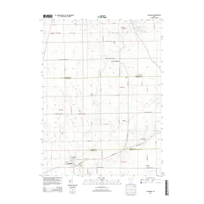
2013 Map of Caledonia
USGS Topo · Published 2013About this map
The Olentangy River and several of its tributaries, including Mud Run and Flat Run, dictate the drainage patterns of this rural landscape where the borders of Marion, Crawford, and Morrow counties meet. This agricultural region is dotted with numerous family and community burial grounds, providing a significant resource for genealogical research. Prominent sites include the Monnett Chapel Cem, the Caledonia Graveyard, and the Sixteen Cem.
Find a feature on this map
71 named features on this map. Tap any name to fly to it.
Don’t see what you’re looking for? This feature index may not catch every label — zoom into the map to look around manually.
Map Details
Editions of this 2013 Caledonia Map
This is the sole edition of this map. No revisions or reprints were ever made.
Other maps of this area

1903 · Marion
USGS Topo · 1:62,500

1905 · Marion
USGS Topo · 1:62,500

1906 · Sycamore
USGS Topo · 1:62,500

1913 · Mount Gilead
USGS Topo · 1:62,500

1915 · Bucyrus
USGS Topo · 1:62,500

1916 · Mount Gilead
USGS Topo · 1:62,500

1943 · Bucyrus
USGS Topo · 1:62,500

1943 · Mount Gilead
USGS Topo · 1:62,500

1950 · Marion
USGS Topo · 1:250,000

1960 · North Robinson
USGS Topo · 1:24,000