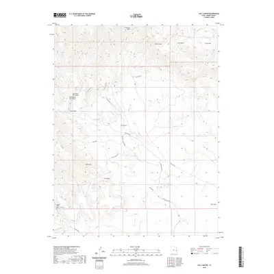
2020 Map of Calf Canyon
USGS Topo · Published 2020About this map
The Book Cliffs dominate this eastern Utah landscape, forming a dramatic escarpment that separates the high plateau country from the canyon-riven lowlands below. This 2020 survey documents a complex network of seasonal drainages including Strychnine Wash, Pinto Wash, and the primary Nash Wash, which carves through the terrain alongside Calf Canyon. The map reveals the persistent human imprint on this arid environment through grazing-related landmarks like Bull Pasture and early transport routes such as Windy Mesa Rd.
Find a feature on this map
21 named features on this map. Tap any name to fly to it.
Don’t see what you’re looking for? This feature index may not catch every label — zoom into the map to look around manually.
Map Details
Editions of this 2020 Calf Canyon Map
This is the sole edition of this map. No revisions or reprints were ever made.
Other maps of this area

1885 · East Tavaputs
USGS Topo · 1:250,000

1885 · La Sal
USGS Topo · 1:250,000

1956 · Moab
USGS Topo · 1:250,000

1956 · Grand Junction
USGS Topo · 1:250,000

1958 · Thompson
USGS Topo · 1:62,500

1958 · Cisco
USGS Topo · 1:62,500

1959 · Grand Junction
USGS Topo · 1:250,000

1959 · Moab
USGS Topo · 1:250,000

1960 · Moab
USGS Topo · 1:250,000

1960 · Grand Junction
USGS Topo · 1:250,000