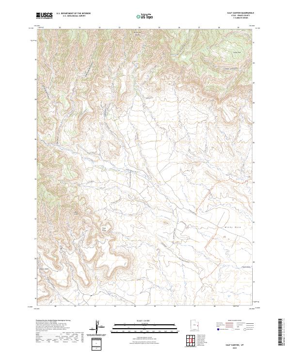
2023 Map of Calf Canyon
USGS Topo · Published 2023About this map
The Book Cliffs dominate the southwestern corner of this topographical study in Grand County, Utah, where steep escarpments give way to a complex system of drainages. The landscape is defined by its deep canyons and dry washes, most notably Bull Canyon and its tributaries, Left Hand Bull Canyon and Right Hand Bull Canyon. Human navigation through this arid terrain is traced by historical routes such as the Windy Mesa Rd and the Nash Wash (Cunningham) road, which follow the natural contours of the land to connect remote outposts like Bull Pasture. To the east, the elevation rises toward Windy Mesa and Turper Park, providing a stark contrast to the lower elevations of Sagers Wash and the prominent Sagers Bench in the south.
Find a feature on this map
24 named features on this map. Tap any name to fly to it.
Don’t see what you’re looking for? This feature index may not catch every label — zoom into the map to look around manually.
Map Details
Editions of this 2023 Calf Canyon Map
This is the sole edition of this map. No revisions or reprints were ever made.
Other maps of this area

1885 · East Tavaputs
USGS Topo · 1:250,000

1885 · La Sal
USGS Topo · 1:250,000

1956 · Moab
USGS Topo · 1:250,000

1956 · Grand Junction
USGS Topo · 1:250,000

1958 · Thompson
USGS Topo · 1:62,500

1958 · Cisco
USGS Topo · 1:62,500

1959 · Grand Junction
USGS Topo · 1:250,000

1959 · Moab
USGS Topo · 1:250,000

1960 · Moab
USGS Topo · 1:250,000

1960 · Grand Junction
USGS Topo · 1:250,000