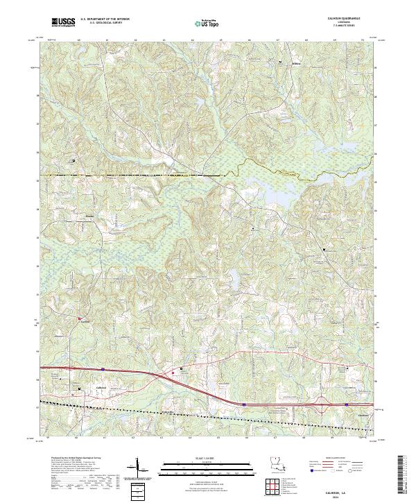
2024 Map of Calhoun
USGS Topo · Published 2024About this map
The boundary between Union Parish and Ouachita Parish cuts through a landscape defined by meandering creeks and a network of parish roads. Small settlements such as Wilhite, Eureka, and Carlton are scattered north of the Interstate 20 corridor, which serves as the primary modern transit artery. The northern edge of the sheet is dominated by the southern reaches of the D'Arbonne National Wildlife Refuge, where the terrain transitions into the wetlands surrounding Bayou Choudrant and Hurricane Creek.
Find a feature on this map
138 named features on this map. Tap any name to fly to it.
Don’t see what you’re looking for? This feature index may not catch every label — zoom into the map to look around manually.
Map Details
Editions of this 2024 Calhoun Map
This is the sole edition of this map. No revisions or reprints were ever made.
Other maps of this area

1935 · Drew
USGS Topo · 1:62,500

1940 · Monroe
USGS Topo · 1:62,500

1952 · Calhoun
USGS Topo · 1:62,500

1953 · Chatham
USGS Topo · 1:62,500

1955 · Shreveport
USGS Topo · 1:250,000

1956 · Shreveport
USGS Topo · 1:250,000

1957 · Monroe North
USGS Topo · 1:62,500

1957 · West Monroe North
USGS Topo · 1:24,000

1957 · West Monroe South
USGS Topo · 1:24,000

1957 · Monroe South
USGS Topo · 1:62,500