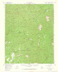
1958 Map of California Hot Springs
USGS Topo · Published 1966About this map
California Hot Springs serves as a central point in this mid-century survey of the southern Sierras, surrounded by a network of seasonal camps, ranches, and small mountain communities. The landscape is defined by the high-elevation reaches of the Sequoia National Forest and an Indian Reservation in the northwest, where the topography transitions from the Tule River headwaters down toward the White River. Settlement patterns are concentrated around summer homes and resorts, including the Spear Creek Summer Home Tract and Sugarloaf Mountain Park.
Find a feature on this map
196 named features on this map. Tap any name to fly to it.
Don’t see what you’re looking for? This feature index may not catch every label — zoom into the map to look around manually.
Map Details
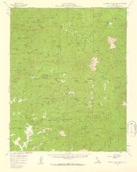
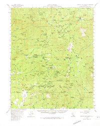
Editions of this 1958 California Hot Springs Map
3 editions found
Other maps of this area

1904 · Kaweah
USGS Topo · 1:125,000

1905 · Olancha
USGS Topo · 1:125,000

1905 · Fairview
USGS Topo · 1:24,000

1906 · Kernville
USGS Topo · 1:125,000

1907 · Olancha
USGS Topo · 1:125,000

1908 · Kernville
USGS Topo · 1:125,000

1909 · Kaweah
USGS Topo · 1:125,000

1918 · Fairview
USGS Topo · 1:31,680

1920 · Delonagha
USGS Topo · 1:62,500

1926 · Glennville
USGS Topo · 1:62,500