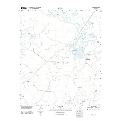
2011 Map of Calion
USGS Topo · Published 2011About this map
Ouachita River oxbows and swampy brakes define this low-lying landscape south of the Smackover Creek confluence. The town of Calion sits at a strategic bend in the river, anchored by Calion Lake and the Lake Calion Dam. This region is a study in industrial and natural coexistence, where the Smackover Oil and Gas Field and several others, including the Mud Lake Oil and Gas Field, operate amidst a complex network of waterways like Tupelo Gum Brake and Cobeen Brake.
Find a feature on this map
95 named features on this map. Tap any name to fly to it.
Don’t see what you’re looking for? This feature index may not catch every label — zoom into the map to look around manually.
Map Details
Editions of this 2011 Calion Map
This is the sole edition of this map. No revisions or reprints were ever made.
Other maps of this area

1927 · El Dorado
USGS Topo · 1:62,500

1930 · El Dorado
USGS Topo · 1:62,500

1933 · Strong
USGS Topo · 1:62,500

1934 · Moro Bay
USGS Topo · 1:62,500

1937 · Strong
USGS Topo · 1:62,500

1938 · Moro Bay
USGS Topo · 1:62,500

1939 · Moro Bay
USGS Topo · 1:62,500

1939 · Strong
USGS Topo · 1:62,500

1951 · El Dorado
USGS Topo · 1:62,500

1953 · El Dorado
USGS Topo · 1:250,000