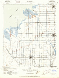
1944 Map of Calipatria
USGS Topo · Published 1952About this map
Agricultural development in the Imperial Valley is the defining characteristic of this landscape, dominated by a vast grid of irrigation infrastructure. This network of lateral canals, such as E Lateral and Eleven Lateral, transformed the arid basin into a productive farming region. The Salton Sea dominates the northwest, its shoreline featuring curious geothermal and natural phenomena like the Mud Pots and Obsidian near Pumice Island.
Find a feature on this map
61 named features on this map. Tap any name to fly to it.
Don’t see what you’re looking for? This feature index may not catch every label — zoom into the map to look around manually.
Map Details
Editions of this 1944 Calipatria Map
4 editions found

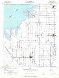
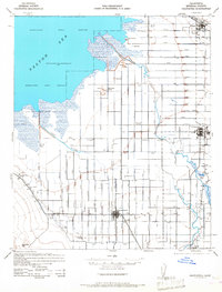
Other maps of this area

1907 · Holtville
USGS Topo · 1:125,000

1915 · El Centro
USGS Topo · 1:125,000

1940 · Brawley
USGS Topo · 1:62,500

1940 · Kane Spring
USGS Topo · 1:62,500

1940 · Iris
USGS Topo · 1:62,500

1940 · Frink
USGS Topo · 1:62,500

1940 · Iris Pass
USGS Topo · 1:62,500

1940 · Plaster City
USGS Topo · 1:62,500

1940 · Alamorio
USGS Topo · 1:62,500

1940 · Durmid
USGS Topo · 1:62,500