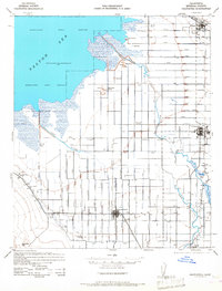
1944 Map of Calipatria
USGS Topo · Published 1968About this map
The Salton Sea dominates the northwest corner of this Imperial County landscape, its 1940s shoreline defined by a vast Migratory Bird Refuge and geologic curiosities like Mud Pots and Obsidian Butte. This era captures a highly engineered agricultural basin where the Alamo River and New River are supplemented by an intricate network of irrigation works, including the Central Main Canal and Trifolium Main Canal. The presence of Dry Ice Wells near Mullet Island highlights a unique local industry of the period.
Find a feature on this map
42 named features on this map. Tap any name to fly to it.
Don’t see what you’re looking for? This feature index may not catch every label — zoom into the map to look around manually.
Map Details
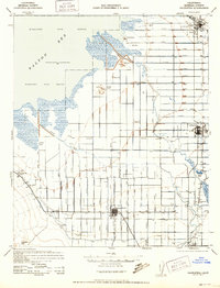
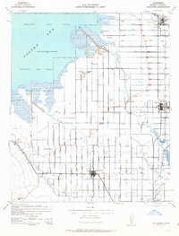
Editions of this 1944 Calipatria Map
4 editions found

Other maps of this area

1907 · Holtville
USGS Topo · 1:125,000

1915 · El Centro
USGS Topo · 1:125,000

1940 · Brawley
USGS Topo · 1:62,500

1940 · Kane Spring
USGS Topo · 1:62,500

1940 · Iris
USGS Topo · 1:62,500

1940 · Frink
USGS Topo · 1:62,500

1940 · Iris Pass
USGS Topo · 1:62,500

1940 · Plaster City
USGS Topo · 1:62,500

1940 · Alamorio
USGS Topo · 1:62,500

1940 · Durmid
USGS Topo · 1:62,500