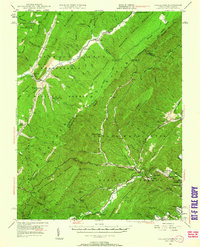
1946 Map of Callaghan
USGS Topo · Published 1962About this map
The West Virginia and Virginia state line cuts through the center of this mountain landscape, following the high ridges of Little Allegheny Mountain and Brushy Mountain. The settlement of Callaghan serves as a focal point in the valley where the Chesapeake and Ohio railway threads through the complex topography. This mid-century survey reveals a rural landscape defined by narrow hollows and numerous water gaps, where small communities like Neola and Shryock are established along the North Fork Anthony Creek. Toward the southeast, the terrain shifts toward the industrial and social infrastructure of Covington, including the Boys Home and Teaberry Flats. The presence of Hokes Chapel and the Stack Mine highlights the diverse community life of the era, from spiritual centers to the extraction of natural resources. Significant railway engineering is evident through the naming of the Moore Tunnel, Lake Tunnel, and Kelly Tunnel, marking the heavy labor required to maintain transit through the Peters Mountain area.
Find a feature on this map
110 named features on this map. Tap any name to fly to it.
Don’t see what you’re looking for? This feature index may not catch every label — zoom into the map to look around manually.
Map Details
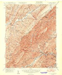
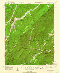
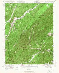
Editions of this 1946 Callaghan Map
4 editions found
Other maps of this area

1887 · Lewisburg
USGS Topo · 1:125,000

1891 · Lewisburg
USGS Topo · 1:125,000

1891 · Huntersville
USGS Topo · 1:125,000

1894 · Huntersville
USGS Topo · 1:125,000

1894 · Natural Bridge
USGS Topo · 1:125,000

1901 · Monterey
USGS Topo · 1:125,000

1913 · Eagle Rock
USGS Topo · 1:48,000

1915 · Eagle Rock
USGS Topo · 1:62,500

1921 · Callaghan
USGS Topo · 1:48,000

1921 · White Sulphur Springs
USGS Topo · 1:48,000