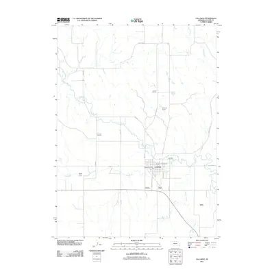
2011 Map of Callaway
USGS Topo · Published 2011About this map
Callaway anchors this Custer County landscape along the winding course of the South Loup River in central Nebraska. The village grid is clearly defined, centered around the Callaway Post Office and providing access to recreational hubs like the Morgan Park Campground and the Callaway Golf Course. The surrounding terrain transitions from the alluvial floor of the Sand Valley to the uplands where local aviation is supported by small facilities like Withuhn Airport and Hoesel Airport.
Find a feature on this map
25 named features on this map. Tap any name to fly to it.
Don’t see what you’re looking for? This feature index may not catch every label — zoom into the map to look around manually.
Map Details
Editions of this 2011 Callaway Map
This is the sole edition of this map. No revisions or reprints were ever made.
Other maps of this area

1951 · Callaway NW
USGS Topo · 1:24,000

1951 · Merna
USGS Topo · 1:24,000

1951 · Callaway SE
USGS Topo · 1:24,000

1951 · Callaway
USGS Topo · 1:24,000

1951 · Oconto NW
USGS Topo · 1:24,000

1951 · Oconto
USGS Topo · 1:24,000

1954 · North Platte
USGS Topo · 1:250,000

1955 · Broken Bow
USGS Topo · 1:250,000

1956 · Broken Bow
USGS Topo · 1:250,000

1956 · North Platte
USGS Topo · 1:250,000