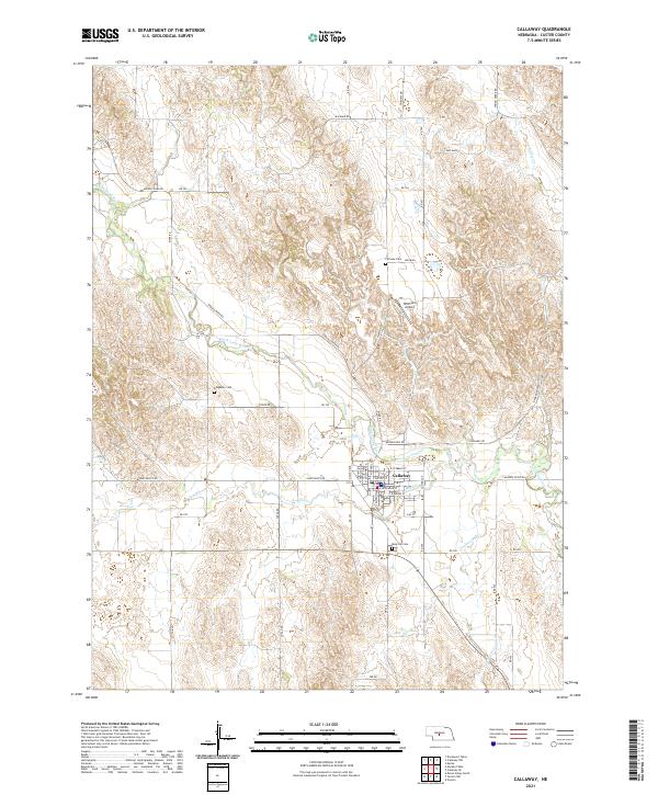
2021 Map of Callaway
USGS Topo · Published 2021About this map
The town of Callaway serves as the central hub of this Custer County landscape, situated where the South Loup River meets a network of local roads. The village street grid is clearly defined, featuring local thoroughfares like E Stebbins St and S Cameron Ave, which reflect the community's established layout. Historically significant sites for genealogists are found throughout the surrounding rural sections, including the Rose Hill Cem south of town, Fairview Cem to the north, and the Kingsbury Cem located near the river bend. The topography is dominated by the winding paths of Spring Cr and Sand Cr, which cut through the Nebraska hills. On the plateau northeast of the town center, Witthuhn Airport provides a modern landmark among the section lines and grazing lands that define the region's agricultural character.
Find a feature on this map
49 named features on this map. Tap any name to fly to it.
Don’t see what you’re looking for? This feature index may not catch every label — zoom into the map to look around manually.
Map Details
Editions of this 2021 Callaway Map
This is the sole edition of this map. No revisions or reprints were ever made.
Other maps of this area

1951 · Callaway NW
USGS Topo · 1:24,000

1951 · Merna
USGS Topo · 1:24,000

1951 · Callaway SE
USGS Topo · 1:24,000

1951 · Callaway
USGS Topo · 1:24,000

1951 · Oconto NW
USGS Topo · 1:24,000

1951 · Oconto
USGS Topo · 1:24,000

1954 · North Platte
USGS Topo · 1:250,000

1955 · Broken Bow
USGS Topo · 1:250,000

1956 · Broken Bow
USGS Topo · 1:250,000

1956 · North Platte
USGS Topo · 1:250,000