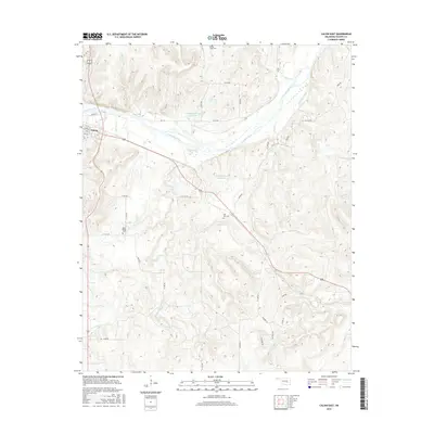
2016 Map of Calvin East
USGS Topo · Published 2016About this map
The Canadian River meanders across this landscape, defining the northern geography near the settlement of Calvin. This modern topographic study reveals a terrain deeply etched by a network of waterways, including Salt Creek, Peach Cr, and Shawnee Cr, which drain into the river valley. The map is particularly useful for genealogists, as it identifies several local burial grounds such as Spring Creek Cem to the north and Blue Ridge Cem and Hill Top Cem further south. Man-made features like the Lindley Robertson Reservoir and Stanley Huser Reservoir indicate mid-to-late century water management efforts that have altered the drainage patterns of the original creek beds. The grid of rural roads, including Ew 141 and Oak Rdg, provides a clear view of contemporary land divisions and access to the outlying hills of Hughes County.
Find a feature on this map
36 named features on this map. Tap any name to fly to it.
Don’t see what you’re looking for? This feature index may not catch every label — zoom into the map to look around manually.
Map Details
Editions of this 2016 Calvin East Map
This is the sole edition of this map. No revisions or reprints were ever made.
Other maps of this area

1896 · Coalgate
USGS Topo · 1:125,000

1899 · Coalgate
USGS Topo · 1:125,000

1900 · Wewoka
USGS Topo · 1:125,000

1900 · Coalgate
USGS Topo · 1:125,000

1954 · Oklahoma City
USGS Topo · 1:250,000

1957 · Ardmore
USGS Topo · 1:250,000

1957 · Oklahoma City
USGS Topo · 1:250,000

1963 · Ardmore
USGS Topo · 1:250,000

1963 · Oklahoma City
USGS Topo · 1:250,000

1967 · Calvin East
USGS Topo · 1:24,000